
Time zone CET/CEST (UTC+1/+2) Area 3.14 km² Local time Saturday 9:14 AM Dialling code 06504 | Elevation 470 m (1,540 ft) Postal codes 54426 Population 163 (31 Dec 2008) Postal code 54426 | |
 | ||
Weather 6°C, Wind SE at 11 km/h, 58% Humidity | ||
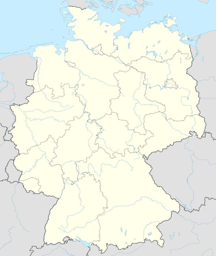
Immert is an Ortsgemeinde – a municipality belonging to a Verbandsgemeinde, a kind of collective municipality – in the Bernkastel-Wittlich district in Rhineland-Palatinate, Germany.
Contents
Map of Immert, Germany
Location
The municipality lies in the Hunsrück and belongs to the Verbandsgemeinde of Thalfang am Erbeskopf, whose seat is in the municipality of Thalfang.
History
Beginning in the 12th century, Immert was part of the Mark Thalfang, a territory roughly corresponding to today’s Verbandsgemeinde. As a result of the turmoil of the French Revolution, Immert lay under French rule beginning about 1800. In 1814 it was assigned to the Kingdom of Prussia at the Congress of Vienna. Since 1947, it has been part of the then newly founded state of Rhineland-Palatinate.
Municipal council
The council is made up of 6 council members, who were elected by majority vote at the municipal election held on 7 June 2009, and the honorary mayor as chairman.
Coat of arms
The municipality’s arms might be described thus: Or a bendlet sinister bendy argent and azure surmounted by a lion rampant gules armed and langued of the third.