
Area code(s) +53-21 Area 524 km² Population 20,959 (2004) | Time zone EST (UTC-5) Elevation 30 m Local time Saturday 8:39 AM | |
 | ||
Weather 25°C, Wind N at 8 km/h, 72% Humidity | ||
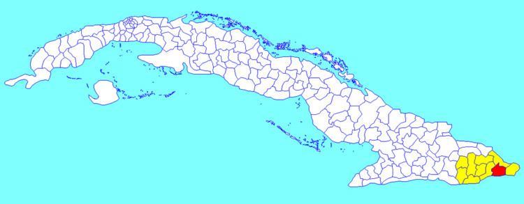
Imías is a municipality and town in the Guantánamo Province of Cuba. It is located on the southern coast of Cuba, bordering the Windward Passage to the south.
Contents
Map of Imias, Cuba
Overview
The municipality of Imías borders with San Antonio del Sur, Baracoa and Maisí. The town is crossed by the Carretera Central, a west-east highway spanning the length of Cuba, and counts a little airport.
Demographics
In 2004, the municipality of Imías had a population of 20,959. With a total area of 524 km2 (202 sq mi), it has a population density of 40.0/km2 (104/sq mi).
References
Imías Wikipedia(Text) CC BY-SA