
Illinois adventure 1407 illinois waterway visitor center
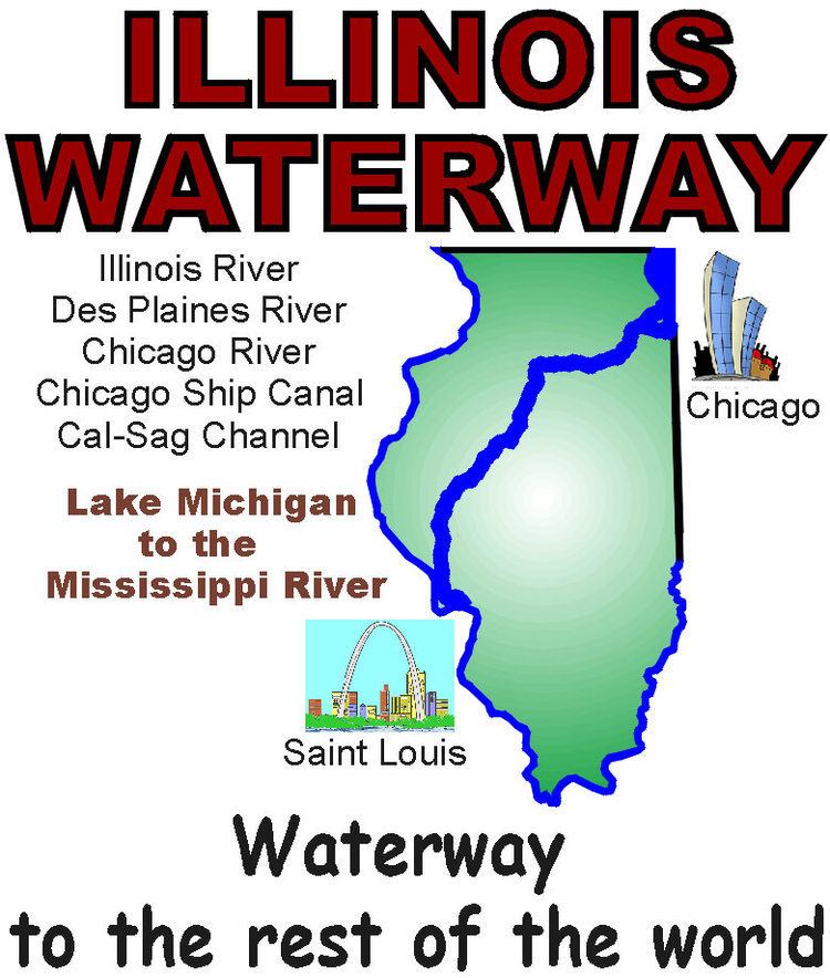
The Illinois Waterway system consists of 336 miles (541 km) of water from the mouth of the Calumet River to the mouth of the Illinois River at Grafton, Illinois. It is a system of rivers, lakes, and canals which provide a shipping connection from the Great Lakes to the Gulf of Mexico via the Illinois and Mississippi rivers. The Illinois and Michigan Canal opened in 1849. In 1900, the Chicago Sanitary and Ship Canal replaced it and reversed the flow of the Chicago River so it no longer flowed into Lake Michigan. The United States Army Corps of Engineers maintains a 9-foot-deep (2.7 m) navigation channel in the waterway. The waterway's complex northern section is referred to in various contexts for study and management as the Chicago Area Waterway System (CAWS).
Contents
- Illinois adventure 1407 illinois waterway visitor center
- 2015 canal congress illinois waterway
- Schematic
- References
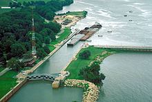
A series of eight locks, managed by the Army Corps of Engineers, control water flow from Lake Michigan to the Mississippi River system. The upper lock, T.J. O'Brien, is 7 miles from Lake Michigan on the Calumet River and the last lock is 90 miles (140 km) upstream from the Mississippi River at the LaGrange lock and dam. The amount of water released into the Illinois often is a sore point among lake and river interests. When Lake Michigan water levels are high, lake interests want to increase the flow, and when lake levels are low, they want to restrict the flow. That is why an international treaty regulates the flow, as Canada also has an interest in Lake Michigan levels which eventually flow into the Lakes Erie, Huron, and Ontario.
Primary cargoes are coal to powerplants, chemicals and petroleum upstream and corn and soybeans downstream primarily for export through New Orleans.
Some winters ice floes, especially around the locks and dams, preclude towboats and barges from navigating the Illinois.
2015 canal congress illinois waterway
Schematic
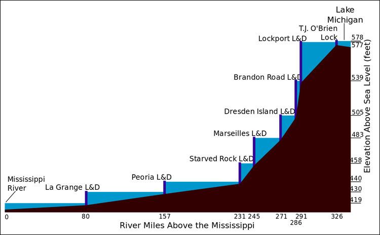
The schematic below illustrates the drop of the Illinois Waterway from 578 feet (176 m) (mean) above sea level at Lake Michigan to 419 feet (128 m) (mean) at the Mississippi River at Grafton, Illinois. The eight locks and dams (L&D) on the waterway provide the lift for traffic along the waterway.