
Constructed 5 November 1918 | Length 119 km | |
 | ||
Existed: November 5, 1918 – present Counties | ||
Illinois Route 2 is a north–south state road in northern Illinois. It currently starts at Illinois Route 40 in Sterling and ends at the Wisconsin state line in South Beloit, very near the intersection with U.S. Route 51, Illinois Route 75 and Illinois Route 251. Illinois 2 is 73.91 miles (118.95 km) long.
Contents
Map of IL-2, Illinois, USA
Route description
Illinois 2 follows the Rock River from Rock Island to South Beloit. It was used in the 19th century as a primary trading route from Rockford to Rock Island, The Rock River was not used as a trading route for boats as it is only navigable west of Rock Falls.
Illinois 2 has since been superseded by Interstate 39 and Interstate 88 for most ground transportation, but the original route remains.
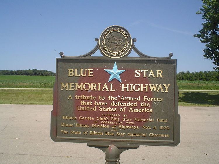
Blue Star Memorial Highway
Illinois 2 was designated a Blue Star Memorial Highway on November 4, 1970. The sign can be found in a wayside just west of the Winnebago County line in Ogle County along the Rock River.
.