 | ||
Countrymark a leader in illinois basin oil exploration and production
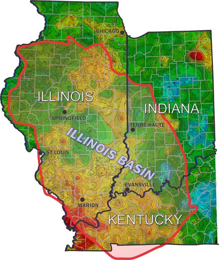
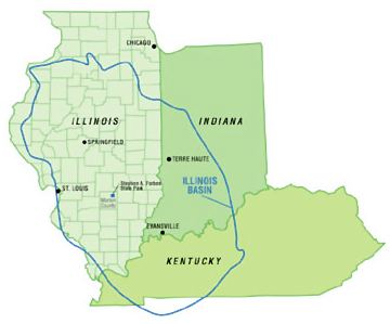
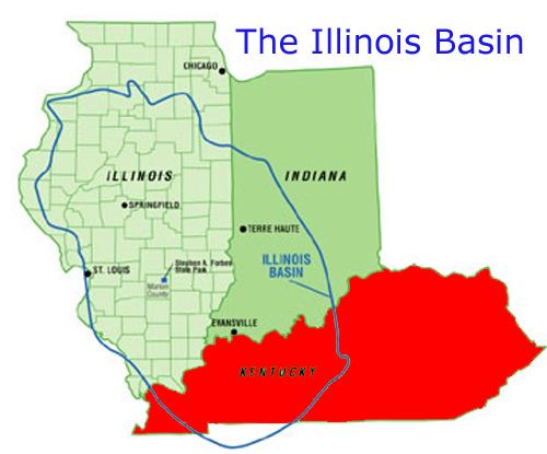
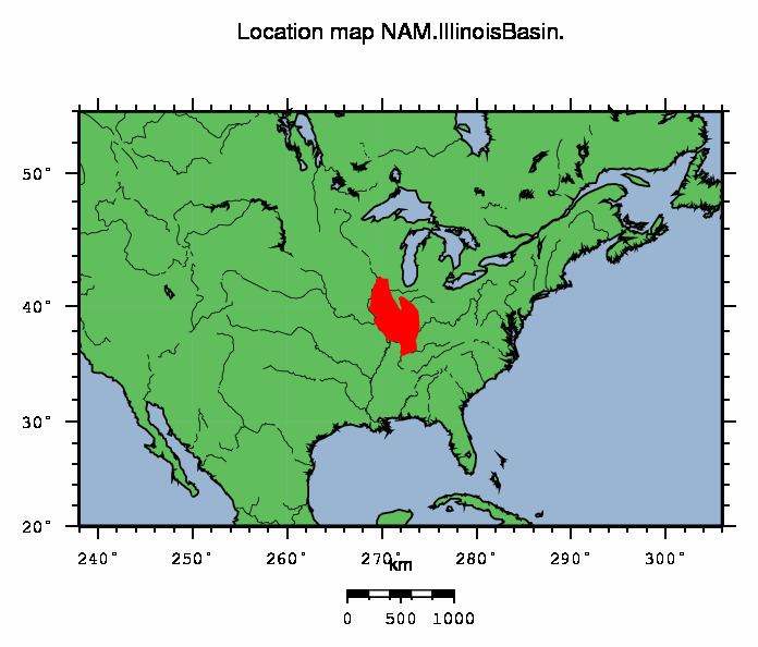
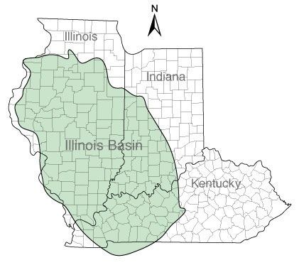
The Illinois Basin is a Paleozoic depositional and structural basin in the United States, centered in and underlying most of the state of Illinois, and extending into southwestern Indiana and western Kentucky. The basin is elongate, extending approximately 400 miles northwest-southeast, and 200 miles southwest-northeast.
Contents
- Countrymark a leader in illinois basin oil exploration and production
- Well completion illinois basin part 1
- Boundaries and sedimentary rocks
- Carbon sequestration
- References
Well completion illinois basin part 1
Boundaries and sedimentary rocks
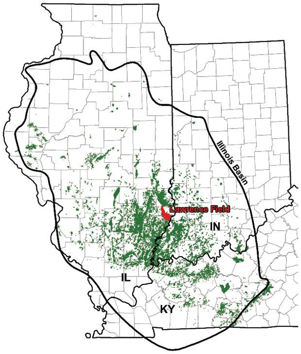
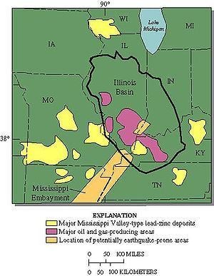
The basin is bordered on the northeast by the Kankakee Arch, on the southeast by the Cincinnati Arch, on the south by the Pascola Arch, on the southwest by the Ozark Dome, on the northwest by the Mississippi River Arch, and on the north by the Wisconsin Arch. The New Madrid Seismic Zone and the Wabash Valley Seismic Zone intersect the southern portion of the basin.
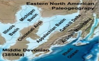
At its center beneath southern Illinois, the basin contains a thickness of about 15,000 feet of Cambrian through Pennsylvanian sedimentary rocks, predominantly marine, and mostly dolomite, limestone, shale, and sandstone.
The basement rocks deep below the sedimentary rocks of the basin are Proterozoic granites and rhyolite of the Eastern Granite–Rhyolite Province which dates to around 1.55 Ga.
Carbon sequestration
Some geologic formations in the Illinois Basin are considered to have potential for carbon sequestration, as a permanent disposal site for carbon dioxide that would otherwise be released into the atmosphere. In 2009, Archer Daniels Midland Corp. began pilot testing the carbon sequestration potential of the Mt. Simon formation beneath its ethanol manufacturing facility in Illinois. As of January 2015, one million metric tons of carbon dioxide had been sequestered in the Illinois Basin-Decatur Project.
