Population (2011 est.) 737,025 Cook PVI D+29 | Median income 39,744 Area 134.7 km² | |
 | ||
Distribution 100.0% urban0.0% rural Ethnicity 57.9% White3.9% Black2.3% Asian71.8% Hispanic0.2% Native American33.1% other | ||
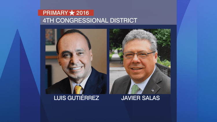
The 4th Congressional District of Illinois includes part of Cook County, and has been represented by Democrat Luis Gutiérrez since January 1993.
Contents
It was featured by The Economist as one of the most strangely drawn and gerrymandered congressional districts in the country and has been nicknamed "earmuffs" due to its shape. It was created to pack two majority Hispanic parts of Chicago into one district, thereby creating a majority Hispanic district.
This district covers two strips running east-west across the city of Chicago, Illinois, on the west side continuing into smaller portions of some suburban areas in Cook County, surrounding Illinois' 7th congressional district. The northern portion is largely Puerto Rican, while the southern portion is heavily Mexican. The two sections are on opposite sides of the city and are only connected by a piece of Interstate 294 to the west; the highway is in the district while the surrounding areas are not. It is the smallest congressional district in area outside of New York City and San Francisco.
2011 redistricting
The district covers parts of Cook County, as of the 2011 redistricting which followed the 2010 census. All or parts of Berwyn, Brookfield, Chicago, Cicero, Lyons, Melrose Park and Riverside are included. The representatives for these districts were elected in the 2012 primary and general elections, and the boundaries became effective on January 3, 2013.
Geography
The 4th District includes the Chicago community of Brighton Park, in addition to almost all of Hermosa, Lower West Side and Gage Park; parts of Albany Park, Irving Park, Avondale, Logan Square, West Town, Humboldt Park, Belmont Cragin, Austin, McKinley Park, South Lawndale, New City, West Elsdon and Archer Heights; portions of riverfront Bridgeport; the portion of North Center southwest of Clybourn Avenue; and the northwestern tip of Lincoln Park.
History
The Illinois 4th Congressional District was originally formed in 1842. It included 17 counties, which were Cook, Lake, McHenry, Boone, De Kalb, Kane, Du Page, Will, Kendall, Grundy, La Salle, Bureau, Livingston, Iroquois, McLean, Vermilion and Champaign Counties. Beyond this Ford and Kankakee Counties were part of Vermillion and Iroquois Counties respectively at this point and thus in the district's boundaries.
Historical district boundaries
The existing boundaries were drawn following the 1990 United States Census, as a result of which congressional districts were revised. Mayor Richard M. Daley and Governor Jim Edgar both wanted a Latino district, as Latinos were the fastest growing demographic group in the state at the time. In June 1991, Congressman Dennis Hastert, a suburban Republican, filed a federal lawsuit claiming that the existing congressional map was unconstitutional; the present congressional district boundaries emerged as a result of that lawsuit. Subsequent lawsuits challenging the redistricting as racially biased did not succeed in redrawing the district boundaries.
