
Basin area 1,202 km² | - min 3.18 m/s (112 cu ft/s) Length 62 km Country Canada | |
 | ||
- average 53.1 m/s (1,875 cu ft/s) - max 436 m/s (15,397 cu ft/s) Similar | ||
River rafting illecillewaet river w apex rafting
The Illecillewaet River /ɪləˈsɪləwət/ is a tributary of the Columbia River located in British Columbia, Canada. Fed by the Illecillewaet Glacier in Glacier National Park, the river flows approximately 62 kilometres (39 mi) to the southwest, where it flows into the north end of Upper Arrow Lake at Revelstoke. The river's drainage basin is 1,202 square kilometres (464 sq mi).
Contents
- River rafting illecillewaet river w apex rafting
- Map of Illecillewaet River Revelstoke BC Canada
- Apex rafting on the illecillewaet river 2016
- HistoryEdit
- Natural historyEdit
- References
Map of Illecillewaet River, Revelstoke, BC, Canada
Apex rafting on the illecillewaet river 2016
HistoryEdit
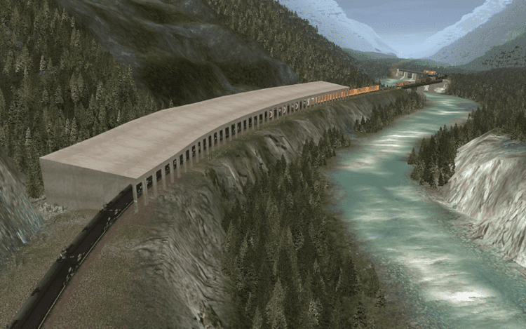
The Illecillewaet has been of importance since the discovery in 1881 of an approach along the river to what is now known as the Rogers Pass across the Selkirk Mountains. This pass, discovered by a surveyor for the Canadian Pacific Railway named Albert Bowman Rogers, ultimately became the route through the Selkirks of Canada's first transcontinental railway. In 1962 the Trans-Canada Highway was constructed along the Illecillewaet west of Rogers Pass.
Natural historyEdit
The watershed surrounding the river was quickly recognized to be of exceptional ecological significance, and Glacier National Park was established in the area in 1886, followed by Mount Revelstoke National Park in 1914.