Official name Barrage Idriss I Location Fes Opening date 1973 Opened 1973 | Status Operational Height 72 m Catchment area 3,300 km² | |
 | ||
Owner(s) Office National de L'Electricite (ONE) Similar Mohamed V Dam, Al Wahda Dam, Barrage Sidi Mohamed‑Ben‑Abdellah, Al Massira Dam, Hassan II Dam | ||
The Idriss I Dam, also known as the Idriss the First Dam, is a gravity dam on the Inaouen River, a tributary of the Sebou River. The dam is situated in the Gharb Basin and is located 27 kilometres (17 mi) northeast of Fes in Taounate Province, Morocco. The dam serves to provide irrigation for 72,300 hectares (179,000 acres) of land and its power plant generates 66 GWh of electricity annually. It is named after Idriss I It has come under criticism since it failed to deliver irrigation to the projected number of acres and it has also denied water use to historical downstream agricultural and residential users.
Contents
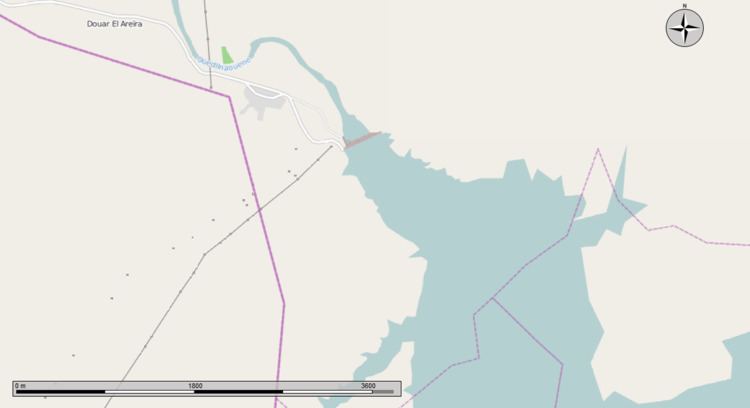
Map of Idriss I Dam, N8, Morocco
Environmental issues
A number of water pollutants enter the Sebou River and its tributaries, notably including pesticides and fertilisers from agricultural runoff and untreated sewage from towns along the river. In the upper parts of the watershed within the Middle Atlas is the prehistoric range of the endangered primate Barbary macaque, which animal prehistorically had a much larger range in North Africa.
