
Telephone code 06548 Elevation 371 m Local time Friday 10:01 AM | Time zone IST (UTC+5:30) Vehicle registration JH 02 Population 112,815 (2011) Area code 06548 | |
 | ||
Weather 25°C, Wind S at 13 km/h, 58% Humidity | ||
Ichak is a community development block that forms an administrative division in Hazaribagh Sadar subdivision of Hazaribagh district in the Indian state of Jharkhand.
Contents
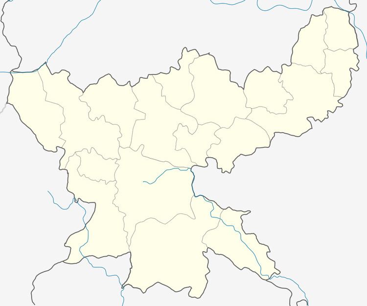
Map of Ichak, Jharkhand 825402
Geography
Ichak is located at 24.090°N 85.431°E / 24.090; 85.431. It has an average elevation of 371 metres (1,217 ft).
Demographics
As per 2011 Census of India Ichak CD Block had a total population of 112,815, all of which were rural. There were 58,244 males and 54,571 females. Scheduled Castes numbered 23,607 and Scheduled Tribes numbered 2,988.
Literacy
As per 2011 census the total number of literates in Ichak CD Block was 68,255 out of which 39,699 were males and 28,556 were females.
References
Ichak (community development block) Wikipedia(Text) CC BY-SA