
Population (2015) 2,689 Local time Friday 3:00 AM | Council Zevulun Founded 1965 | |
 | ||
Weather 15°C, Wind W at 5 km/h, 72% Humidity | ||
Ibtin flour plant demolition gone wrong
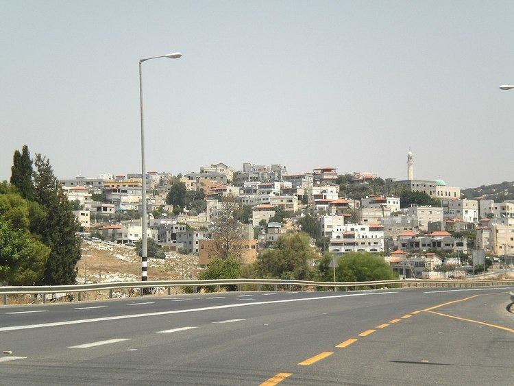
Ibtin (Arabic: إبطن; Hebrew: אִבְּטִין) is a Bedouin village in northern Israel. Located in the Lower Galilee around half a kilometre from Kfar Hasidim, it falls under the jurisdiction of Zevulun Regional Council. In 2015 it had a population of 2,689.
Contents
Map of Ibtin, Israel
History
The village was established in 1965 as part of a plan to settle the Bedouin in the area in permanent settlements. Residents of the village are members of the Amria tribe.
The sacred tree of U'm Ayash is located in the village, which according to legend, has stones roll under it every Friday.
References
Ibtin Wikipedia(Text) CC BY-SA