
Area rank 310 in Norway Area 241.1 km² | County Troms Demonym(s) Ibestadværing Population 1,410 (2012) | |
 | ||
Weather -3°C, Wind S at 18 km/h, 87% Humidity | ||
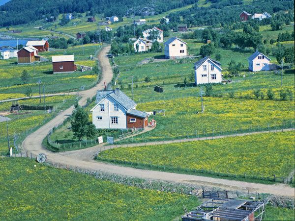
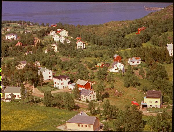
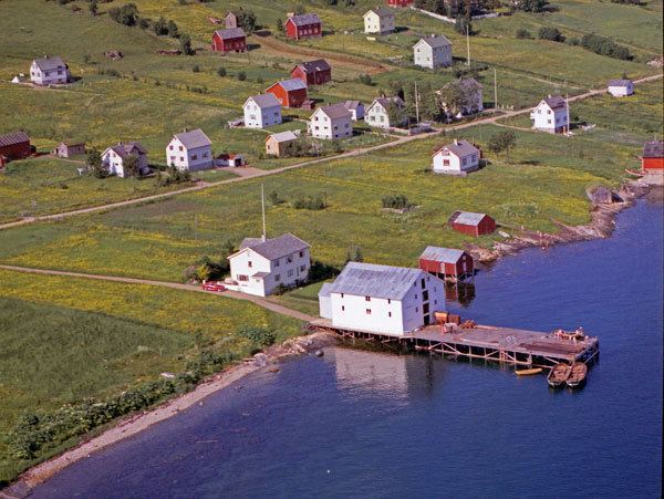
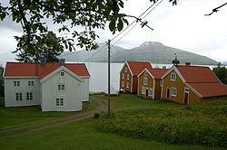
Ibestad (Northern Sami: Ivvárstádik) is a municipality in Troms county, Norway. It is part of the traditional region of Central Hålogaland. The administrative centre of the municipality is the village of Hamnvik. Some of the other larger villages in Ibestad include Engenes, Laupstad, Rollnes, Sørrollnes, Sørvika, and Å.
Contents
General information
The municipality of Ibestad was established on 1 January 1838 (see formannskapsdistrikt). Initially, Ibestad municipality covered a large area from the Vågsfjorden to the border with Sweden (the old Astafjord church parish). In 1854, the rural eastern half of the municipality (population: 757) was separated from Ibestad to form the new municipality of Bardu. This left Ibestad with 4,741 residents.
Then, on 1 January 1871, the northeastern part of the municipality (population: 1,384) was separated from Ibestad to form the new municipality of Salangen. This left Ibestad with 4,301 inhabitants. On 1 January 1907, the easternmost area of Ibestad (population: 1,536) became the separate municipality of Lavangen. Ibestad had 5,709 residents remaining after the split.
In 1926, the municipality of Ibestad was divided into 4 separate municipalities: Andørja, Astafjord, Gratangen, and (a much smaller) Ibestad. The new municipality of Ibestad had 1,768 inhabitants. On 1 January 1964, a merger took place between the municipalities of Andørja and Ibestad, along with the part of Skånland located on the island of Rolla, creating a new municipality of Ibestad with 3,294 residents.
Name

The municipality (originally the parish) is named after the old Ibestad farm (Old Norse: Ívarsstaðir), since the first church (Ibestad Church) was built there. The first element is the genitive case of the male name Ívarr and the last element is staðir which means "homestead" or "farm". Prior to 1918, the name was spelled Ibbestad.
Coat-of-arms
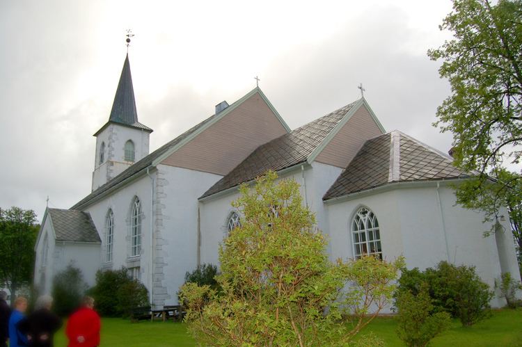
The coat-of-arms is from modern times. They were granted on 19 December 1986. The arms symbolize that one of the oldest Norwegian stone churches was built in Ibestad. It dates from around 1200. As a symbol for this church, the arms show a cross on a medieval tombstone that was found at the church in 1960.
Churches
The Church of Norway has two parishes (sokn) within the municipality of Ibestad. It is part of the Trondenes deanery in the Diocese of Nord-Hålogaland.
Geography
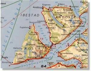
The municipality encompasses the islands of Andørja and Rolla and the tiny surrounding islets. The two main islands are connected by the undersea Ibestad Tunnel. The Mjøsund Bridge connects Andørja to Salangen municipality on the mainland. There is a regular ferry connection from Sørrollnes on Rolla to the town of Harstad.
The Astafjorden forms the southeastern border of the municipality and the Vågsfjorden forms the western and northern borders. The small Mjøsundet strait forms the eastern border. The highest point in Ibestad is the 1,276-metre (4,186 ft) tall Langlitinden mountain.
Government
All municipalities in Norway, including Ibestad, are responsible for primary education (through 10th grade), outpatient health services, senior citizen services, unemployment and other social services, zoning, economic development, and municipal roads. The municipality is governed by a municipal council of elected representatives, which in turn elect a mayor.
Municipal council
The municipal council (Kommunestyre) of Ibestad is made up of 19 representatives that are elected to every four years. Currently, the party breakdown is as follows: