
Country Norway District Central Hålogaland Area rank 271 in Norway Area 312.8 km² Population 1,136 (2012) | County Troms Administrative centre Årstein Demonym(s) Gratangsværing Local time Saturday 5:43 PM Official language form Norwegian Language | |
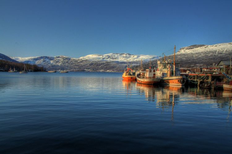 | ||
Weather -3°C, Wind W at 11 km/h, 71% Humidity Points of interest North Norwegian Boat Museum, Leira, Strandhagen, Løvdalsstranda | ||
Gratangen (Northern Sami: Rivttáid suohkan) is a municipality in Troms county, Norway. It is part of the traditional region of Central Hålogaland. The administrative centre of the municipality is the village of Årstein.
Contents
- Map of Gratangen Norway
- General information
- Name
- Coat of arms
- Churches
- History
- Geography
- Government
- Municipal council
- References
Map of Gratangen, Norway
The largest settlement in the municipality is Årstein, which is located approximately 60 kilometres (37 mi) north of Narvik and 85 kilometres (53 mi) east of Harstad. Other villages in Gratangen include Elvenes, Fjordbotn, and Hilleshamn. The European route E6 highway runs through the southeastern part of the municipality.
General information
The municipality of Gratangen was established on 1 July 1926 when it was separated from the municipality of Ibestad. The initial population of Gratangen was 1,967. The municipal boundaries have not changed since then.
Name
The municipality is named after the Gratangen fjord (Old Norse: Grjótangr). The first element is grjót which means "stone" and the last element is angr which means "fjord".
Coat-of-arms
The coat-of-arms is from modern times (1990). It shows a gray chevron to represent the mountains on a blue background to symbolize the sea.
Churches
The Church of Norway has one parish (sokn) within the municipality of Gratangen. It is part of the Trondenes deanery in the Diocese of Nord-Hålogaland.
History
Gratangen was the site of the Battle of Gratangen, one of the first battles between the German 3rd Mountain Division under Eduard Dietl and the Norwegian 6th Division under General Carl Gustav Fleischer after the German invasion of Norway on 9 April 1940.
Geography
The municipality encompasses the land on both sides of the Gratangen and southeast of the Astafjorden. The municipality borders Skånland to the west, Ibestad (across the Astafjorden) to the north, Lavangen to the east, and Narvik (in Nordland county) to the south.
The municipality is very mountainous, with only one third of the land being below the tree line of 250 to 300 metres (820 to 980 ft) above sea level. Most of the livable land is a narrow area along both sides of the fjord, several side valleys that branch away from the fjord, plus the Fjordbotn area at the head of the fjord.
Government
All municipalities in Norway, including Gratangen, are responsible for primary education (through 10th grade), outpatient health services, senior citizen services, unemployment and other social services, zoning, economic development, and municipal roads. The municipality is governed by a municipal council of elected representatives, which in turn elect a mayor.
Municipal council
The municipal council (Kommunestyre) of Gratangen is made up of 15 representatives that are elected to every four years. Currently, the party breakdown is as follows: