
Elevation 500 m (1,600 ft) Area 1,625 km² | Microregion Vão do Paranã Time zone BRT/BRST (UTC-3/-2) | |
 | ||
Uno com som at na tampa iaciara go suspen ar s uma pr via locooo
Iaciara is a municipality in northeastern Goiás state, Brazil.
Contents
- Uno com som at na tampa iaciara go suspen ar s uma pr via locooo
- Map of Iaciara State of GoiC3A1s Brazil
- Prefeito de iaciara go acusado de explora o ilegal
- Geography
- Economics
- Health and education
- History
- References
Map of Iaciara - State of Goi%C3%A1s, Brazil
Prefeito de iaciara go acusado de explora o ilegal
Geography
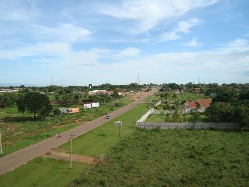
Iaciara is located in Vão do Paranã statistical micro-region, which borders the state of Bahia. The distance to the state capital of Goiânia is 548 kilometers. Highway connections are made by BR-153 / Anápolis / GO-060 / Alexânia / Formosa / BR-020 / Alvorada do Norte / GO-112 for 58 km.
The municipality has boundaries with Posse, Alvorada do Norte, Guarani de Goiás, Nova Roma and São Domingos, and contains the following settlements: Claretiana, Extrema, Levantado and Água Quente.
The rivers that cross the municipality are: the Paranã, Água Quente, São Bernardo and Prata.
Economics
The main economic activities are cattle raising and agriculture (rice, beans, corn and bananas). In 2007 there were 6 small transformation industries and 114 retail establishments. There was one bank.
Agricultural data 2006
Health and education
There were 17 schools and one hospital with 22 beds (2006).
Iaciara is ranked 206 out of 242 municipalities in the state of Goiás on the United Nations Human Development Index with a score of 0.704. Nationally it is ranked 2,925 out of 5,507 municipalities.
History
The history of Iaciara began on 13 June 1881 when, at the Boa Vista ranch, the slave Miguel Cardoso da Conceiçao called for a prayer in the name of Santo Antonio. Since this prayer became traditional the owner of the ranch, Protassio de Souza, had structures of palm built to shelter the pilgrims. Nevertheless, Isidoro Teixeira, the first settler to build his house there, is considered to be the founder of the town. In 1885 the first house covered by tiles was built and the village was called Boa Vista. Later it was changed to Iracema. In 1887 the village was raised to the category of district with the name Iaciara, an Indian word of unknown origin. In 1958 Iaciara was dismembered from Posse and became a municipality.