
Elevation 521 m (1,709 ft) Area 1,229 km² | Microregion Vão do Paranã Time zone BRT/BRST (UTC-3/-2) | |
 | ||
Guarani de Goiás is a municipality in eastern Goiás state, Brazil. Guarani is a very poor municipality in the northeast of the state.
Contents
- Map of Guarani de GoiC3A1s State of GoiC3A1s Brazil
- Geography
- Demographics
- Economy
- Health and education
- History
- References
Map of Guarani de Goi%C3%A1s - State of Goi%C3%A1s, Brazil
Geography
Guarani belongs to the Vão do Paranã statistical microregion. There are municipal boundaries with São Domingos, Iaciara, Posse, and the state of Bahia
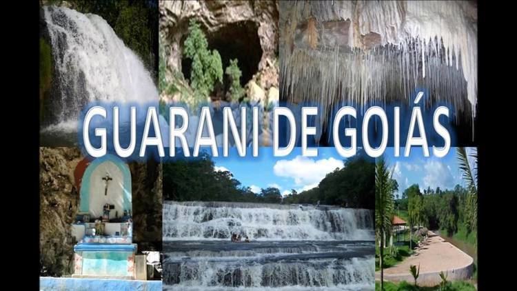
Guarani is located south of the Terra Ronca state park (Terra Ronca) and 28 kilometers north of Posse. It is 35 kilometers to the important BR-020 highway, which links Brasília to Salvador. Guarani is crossed by the Frei River, which has one of the most beautiful waterfalls in the region. For a map of the waterfall see Terraronca
The distance to Goiânia is 550 km. Connections are made by taking BR-153 / Anápolis / GO-060 / Alexânia / Planaltina / Formosa / GO-020 / BR-030 / Vila Boa / Alvorada do Norte / GO-108 / Posse.
Demographics
Economy
The main economic activities are cattle raising, poultry raising, and agriculture (beans, manioc corn, and bananas). There were no hospitals in 2007.
Agricultural data 2006
Health and education
Ranking on the Municipal Human Development Index: 0.632
History
The town was first created as a district of the municipality of São Domingos with the name of Guarani in 1919. In 1943 the name was changed to Coatiçaba. In 1963 it was dismembered from São Domingos and formed a new municipality with the name Guarani de Goiás.