
Elevation 757 m (2,484 ft) First ascent not recorded | ||
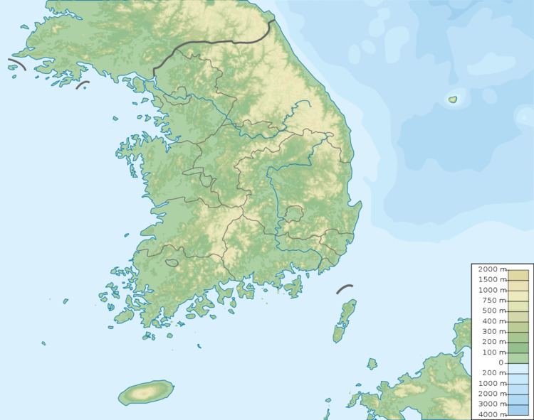 | ||
Location Gyeongsangnam-do, South Korea | ||
Hwawangsan (Korean: 화왕산; Hanja: 火旺山) or Hwawang, is a mountain in Changnyeong County of South Gyeongsang Province, southeastern South Korea. It has an elevation of 757 metres.
Contents
Etymology
The name Hwawang is from Korean hwawang, meaning 'energetic fire', from hwa (Korean: 화; Hanja: 火), meaning "fire", and wang (Korean: 왕; Hanja: 旺), meaning "vigorous".
The name originated from the fire festival and practice of burning dry weeds and rice fields that took place every year on January 15.
Overview
It is one of the three primary tourist locations in Changnyeong County. On January 11, 1984, it was designated as a national park.
References
Hwawangsan Wikipedia(Text) CC BY-SA