PIN 508204 Area 42.13 km² | Time zone IST (UTC+5:30) Vehicle registration TS 29 | |
 | ||
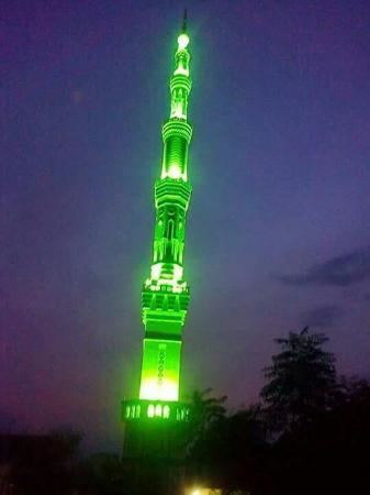
Huzurnagar is a town in the Suryapet district of the Indian state of Telangana. It is a Nagar Panchayat in Huzurnagar mandal of Kodad revenue division.
Contents
Map of Huzur Nagar, Telangana 508204
Trasnport
Huzurnagar has bus services but no rail link. The nearest railway station is 35 km away, at Miryalguda. Vijayawada, another major city, is Vijayawada 115 km away from Huzurngar. The nearest cities include Miryalaguda, Kodad, Jaggaiahpet, and Khammam.
Politics
Huzurnagar was an Assembly Constituency before 1977, when it lost its status of Assembly Constituency. Over 20 years later, in 2009, it has again become a separate Assembly Constituency with the delimitation. The current MLA is captain N. Uttam Kumar Reddy. This is a source of great pride for the Huzurnagar Assembly Constituency.
References
Huzurnagar Wikipedia(Text) CC BY-SA
