
Country United States Time zone CST (UTC-6) Area 141.5 km² Population 919 (2010) | Established November 8, 1859 Elevation 212 m Local time Friday 6:13 AM | |
 | ||
ZIP codes 61912, 61920 62420, 62474 Weather 6°C, Wind S at 19 km/h, 64% Humidity | ||
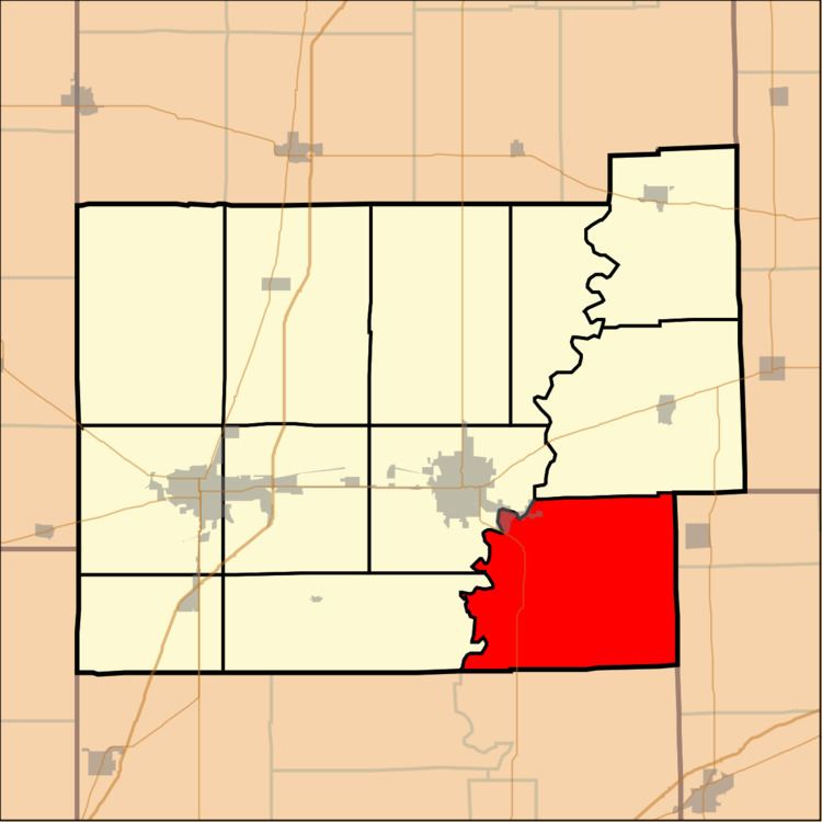
Hutton Township is one of twelve townships in Coles County, Illinois, USA. As of the 2010 census, its population was 919 and it contained 371 housing units.
Contents
- Map of Hutton IL USA
- Geography
- Cities towns villages
- Extinct towns
- Cemeteries
- Major highways
- Rivers
- School districts
- Political districts
- References
Map of Hutton, IL, USA
Geography
According to the 2010 census, the township has a total area of 54.64 square miles (141.5 km2), of which 54.5 square miles (141 km2) (or 99.74%) is land and 0.14 square miles (0.36 km2) (or 0.26%) is water.
Cities, towns, villages
Extinct towns
Cemeteries
The township contains 18 cemeteries: Anderson, Beavers, Brandenburg, Coles County Poor Farm, Grant, Hurricane, Old Kelly, Liberty, McKenzie, Otterbein, Parker, Salisbury, Sargent, Stewart, Stringtown, Welch, Whetstone and Wiley Brick.
Major highways
Rivers
School districts
Political districts
References
Hutton Township, Coles County, Illinois Wikipedia(Text) CC BY-SA