
Population 100 Sovereign state United Kingdom | OS grid reference SE475761 Local time Friday 11:13 AM District Hambleton | |
 | ||
Weather 9°C, Wind W at 27 km/h, 71% Humidity | ||
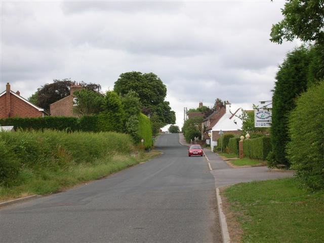
Hutton Sessay is a village and civil parish in the Hambleton district of North Yorkshire, England. In 2013 the population of the civil parish was estimated at 100. The village is situated just west of the A19 between Thirsk and Easingwold.
Contents
Map of Hutton Sessay, Thirsk, UK
History
Though the village is not mentioned specifically in the Domesday Book, it is thought that some of the lands would have been split between the manors of Sessay and Birdforth and followed the inheritance of those places thereafter. By the end of the 19th century, the village lands were owned by Viscount Downe.
The village used to have both Wesleyan and Primitive Methodist Chapels.
Governance
The village is within the Thirsk and Malton UK Parliament constituency. It lies within the Topcliffe ward of Hambleton District Council and Sowerby electoral division of North Yorkshire County Council.
Geography
The nearest settlements are Sessay 1.1 miles (1.8 km) to the south-west, Birdforth 0.8 miles (1.3 km) to the south-east and Thirkleby 1.7 miles (2.7 km) to the north.
The 1881 UK Census recorded the population as 131. There is a public house and a caravan park in the village.