
Country United States Time zone CST (UTC-6) Area 97.15 km² Population 1,177 (2010) | Established November 5, 1867 Elevation 148 m Local time Friday 5:54 AM | |
 | ||
ZIP codes 62433, 62451, 62454, 62478 Weather 5°C, Wind S at 10 km/h, 62% Humidity | ||
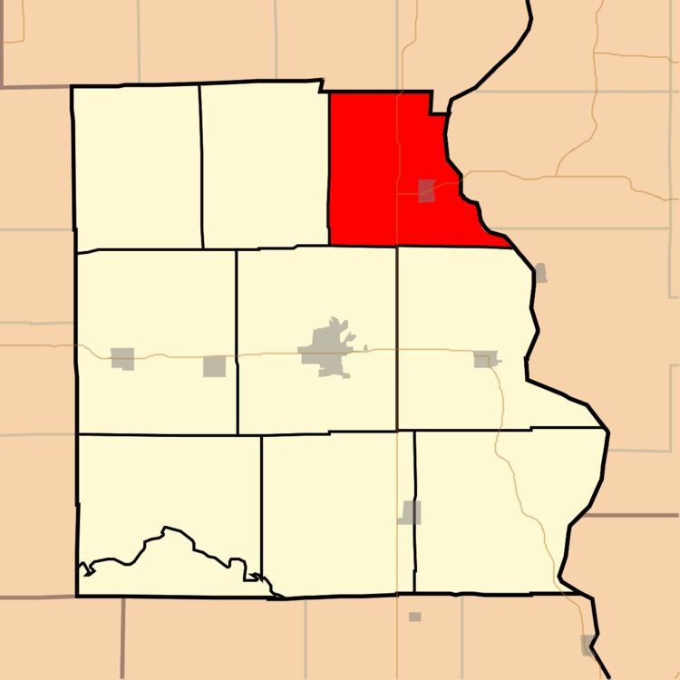
Hutsonville Township is one of ten townships in Crawford County, Illinois, USA. As of the 2010 census, its population was 1,177 and it contained 550 housing units.
Contents
- Map of Hutsonville Township IL USA
- Geography
- Cities towns villages
- Unincorporated towns
- Cemeteries
- Major highways
- School districts
- Political districts
- References
Map of Hutsonville Township, IL, USA
Geography
According to the 2010 census, the township has a total area of 37.51 square miles (97.2 km2), of which 36.81 square miles (95.3 km2) (or 98.13%) is land and 0.69 square miles (1.8 km2) (or 1.84%) is water. The Wabash River defines its eastern border.
Cities, towns, villages
Unincorporated towns
Cemeteries
The township contains these eight cemeteries: Ball, Bradbury, Draper, Guyer, Hutson Old, Hutsonville New, Lindley and Musgrave.
Major highways
School districts
Political districts
References
Hutsonville Township, Crawford County, Illinois Wikipedia(Text) CC BY-SA