
 | ||
Trains rer ter intercites et fret gare de marolles en hurepoix
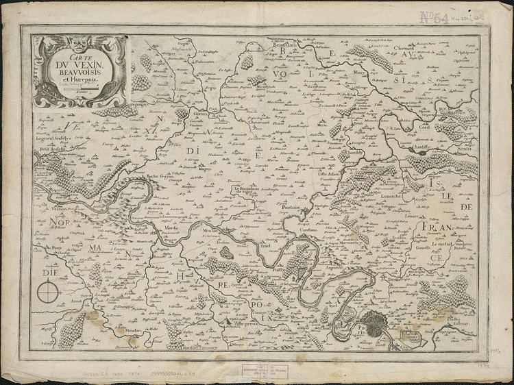
Hurepoix is an area of Île-de-France, in south west of Paris, localised between departments of Yvelines, Hauts-de-Seine and Essonne, it was an old province of the French Kingdom. The main city was Dourdan.
Contents
- Trains rer ter intercites et fret gare de marolles en hurepoix
- Trains intercites rer et fret sncf en gare de marolles en hurepoix
- Geography
- Economy
- References
Trains intercites rer et fret sncf en gare de marolles en hurepoix
Geography
This area is one of the biggest of Île-de-France.
Limits :
Main cities
Main rivers
Main forest
Main Castles
This area is not far from Versailles, and the castle of Louis XIV. In this period, Princes and Dukes built castles not far, in Hurepoix.
Economy
The economy of the west part of the area consists of farming, as in the past. The economy of the eastern part is more industrial.
References
Hurepoix Wikipedia(Text) CC BY-SA