
Postal code 1505XX Area 2,186 km² | Time zone China Standard (UTC+8) Website hulan.gov.cn Local time Thursday 3:43 PM Population 764,534 (2010) | |
 | ||
Country People's Republic of China Harbin district map 123456ShuangchengHulanBayanCountyMulanCountyTongheCountyYilanCountyBinCountyFangzheng CountyAchengYanshouCountyShangzhi(city)Wuchang(city)1. Daoli2. Daowai3. Songbei4. Nangang5. Pingfang6. Xiangfang Weather 8°C, Wind NW at 11 km/h, 43% Humidity Colleges and Universities Harbin Normal University, Star college | ||
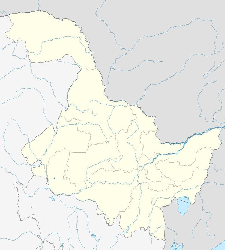
Hulan District (simplified Chinese: 呼兰区; traditional Chinese: 呼蘭區; pinyin: Hūlán Qū) is one of nine districts of Harbin, the capital of Heilongjiang province, People's Republic of China, covering part of the northeastern suburbs. It borders Bayan County to the east, Bin County to the southeast, Daowai District to the south, and Songbei District to the southwest, as well as the prefecture-level city of Suihua to the northwest.
Map of Hulan, Harbin, Heilongjiang, China
References
Hulan District Wikipedia(Text) CC BY-SA