I am a dreamer who dreams of a world full of
good people helping eachother
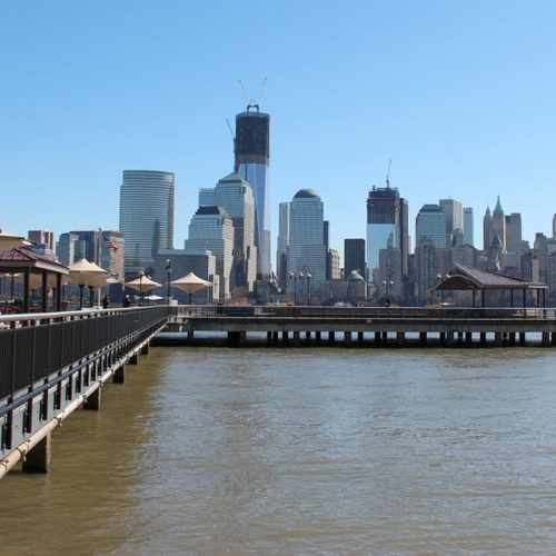
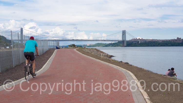
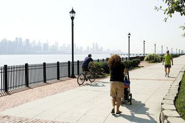
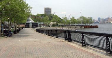
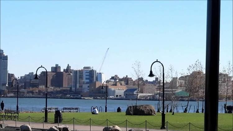
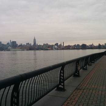
Hudson River Waterfront Walkway
Updated on
Edit
Like
Comment
Share
Sign in
Hudson river waterfront walkway a prospective part 1
The Hudson River Waterfront Walkway, also known as the Hudson River Walkway, is an ongoing and incomplete project located on Kill van Kull and the western shore of Upper New York Bay and the Hudson River, implemented as part of a New Jersey state-mandated master plan to connect the municipalities from the Bayonne Bridge to the George Washington Bridge with an urban linear park and provide contiguous unhindered access to the water's edge.
There is no projected date for its completion, though large segments have been built or incorporated into it since its inception. The southern end in Bayonne may eventually connect to the Hackensack RiverWalk, another proposed walkway along Newark Bay and Hackensack River on the west side of the Hudson County peninsula, and form part of a proposed Harbor Ring around the harbor. Its northern end is in Palisades Interstate Park, allowing users to continue along the river bank and alpine paths to the New Jersey/New York state line and beyond. (A connection to the Long Path, a 330-mile (530 km) hiking trail with terminus near Albany, is feasible.)
As of 2007, eleven miles (18 km) of walkway have been completed, with an additional five miles (8 km) designated HRWW along Broadway in Bayonne. A part of the East Coast Greenway, or ECG, a project to create a nearly 3000-mile (4828 km) urban path linking the major cities along the Atlantic coast runs concurrent with the HRWW.
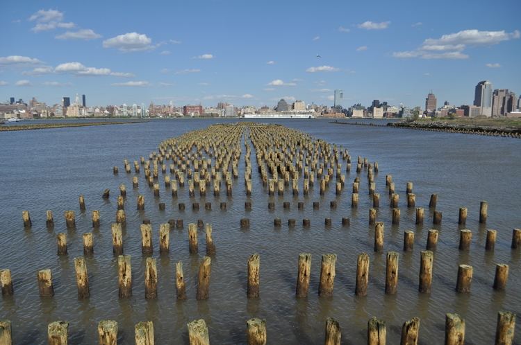
The walkway is showing signs of ageing with some pilings on which it is built succumbing to marine worms and damage done by Hurricane Sandy which undermined bedding.
On the waterfront hudson river waterfront walkway jersey city 4 16 2012 2
Route
The distance of the walkway from beginning to end is approximately 18.5 miles (29.8 km) as it follows the contour of the shore-line. It traverses established residential and commercial areas, re-developed piers, wetland preservation zones, industrial and transportation infrastructure, and is dotted with public and private marinas. Expansive views of the water and the New York skyline can be seen from most of its length. It will eventually pass through the following municipalities (which have combined population of approximately 550,000).
A walkway or promenade along the northeastern New Jersey waterfront was first discussed at a state level in the late 1970s. In 1988, the New Jersey Department of Environmental Protection created the Coastal Zone Management Rules, which outlined the regulations and specifications for its construction. They require anyone building within 100 feet (30 m) of the water's edge to provide a minimum of 30 feet (9.1 m) wide open, public space along it. Construction must be permitted by the agency and paid for by the developer. In 1999, the National Association of Home Builders and the New Jersey Builders Association challenged the obligation in court as an unfair taking of private property under eminent domain, saying that property owners should be compensated as specified by the "Takings clause" of the Fifth Amendment. A federal judge rejected the suit, upholding a state rule that requires property owners to provide access to the waterfront.
Obstacles and advantages
The land upon which the walkway is built (or to be built) is held privately and publicly. Much is used by the Port Authority of New York and New Jersey.
Privately held land is not required to have a walkway until it is re-developed. In some instances, some gated-developments have provided only minimal perpendicular access which is often not clearly indicated.
The topography is diverse, with canals or coves that come quite far inland, requiring the walkway to either go around them or cross them with bridges.
Transportation, industrial, or maritime infrastructure is found along the route, and construction of HRWW could interfere with their operation and public safety.
Much of the land which the walkway crosses had maritime or industrial uses and became obsolete or was abandoned. Chapel Avenue provides access at Caven Point in Jersey City, but the area south of there is still actively used for these purposes.
Each municipality implements and enforces its own zoning rules, and often negotiates with developers with a local rather than regional interest, and have other municipal open-space projects to which funds must be dedicated.
Most housing and commercial real-estate developers see the advantage of providing access to the water as an amenity.
Some sections of the walkway are easily accessible by public transportation, such as the Hudson-Bergen Light Rail, NY Waterway ferries, and New Jersey Transit bus terminals at Hoboken Terminal and Exchange Place.
Veterans Park/Edgewater Community Center-site of plaque commemorating Vriessendael, the first European settlement in what would become contemporary Bergen County
Edgewater Colony
Palisades Interstate Park
Mt. Constitution, atop which sits Fort Lee Historic Park, site of George Washington's 1776 encampment Fort Constitution