
Country United States Time zone Pacific (UTC-8) Elevation 55 m Zip code 97032 Local time Wednesday 6:15 PM | Incorporated 1891 FIPS code 41-35450 Area 184 ha Population 3,198 (2013) Area code 503 | |
 | ||
Weather 12°C, Wind SW at 18 km/h, 87% Humidity | ||
Railfanning amtrak in hubbard oregon narration included
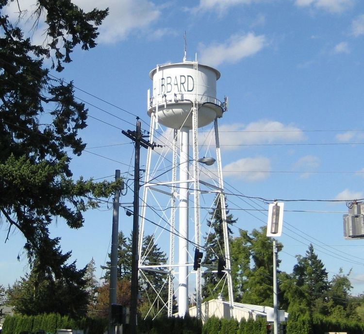
Hubbard is a city in Marion County, Oregon, United States. The population was 3,173 at the 2010 census. It is part of the Salem Metropolitan Statistical Area.
Contents
- Railfanning amtrak in hubbard oregon narration included
- Map of Hubbard OR USA
- Geography
- 2010 census
- 2000 census
- Transportation
- Notable people
- References
Map of Hubbard, OR, USA
Geography
According to the United States Census Bureau, the city has a total area of 0.71 square miles (1.84 km2), all of it land.
2010 census
As of the census of 2010, there were 3,173 people, 958 households, and 756 families residing in the city. The population density was 4,469.0 inhabitants per square mile (1,725.5/km2). There were 1,002 housing units at an average density of 1,411.3 per square mile (544.9/km2). The racial makeup of the city was 73.3% White, 0.5% African American, 2.3% Native American, 0.9% Asian, 0.1% Pacific Islander, 19.4% from other races, and 3.4% from two or more races. Hispanic or Latino of any race were 36.3% of the population.
There were 958 households of which 49.9% had children under the age of 18 living with them, 60.9% were married couples living together, 13.0% had a female householder with no husband present, 5.0% had a male householder with no wife present, and 21.1% were non-families. 15.0% of all households were made up of individuals and 4.7% had someone living alone who was 65 years of age or older. The average household size was 3.31 and the average family size was 3.71.
The median age in the city was 30.1 years. 33.7% of residents were under the age of 18; 9% were between the ages of 18 and 24; 30.6% were from 25 to 44; 20.1% were from 45 to 64; and 6.6% were 65 years of age or older. The gender makeup of the city was 50.3% male and 49.7% female.
2000 census
As of the census of 2000, there were 2,483 people, 753 households, and 594 families residing in the city. The population density was 3,992.2 people per square mile (1,546.3/km²). There were 799 housing units at an average density of 1,284.6 per square mile (497.6/km²). The racial makeup of the city was 68.87% White, 0.32% African American, 1.93% Native American, 0.48% Asian, 0.12% Pacific Islander, 25.61% from other races, and 2.66% from two or more races. Hispanic or Latino of any race were 32.66% of the population.
There were 753 households out of which 46.5% had children under the age of 18 living with them, 60.2% were married couples living together, 13.4% had a female householder with no husband present, and 21.0% were non-families. 15.4% of all households were made up of individuals and 5.7% had someone living alone who was 65 years of age or older. The average household size was 3.30 and the average family size was 3.67.
In the city, the population was spread out with 34.5% under the age of 18, 9.1% from 18 to 24, 32.8% from 25 to 44, 16.4% from 45 to 64, and 7.2% who were 65 years of age or older. The median age was 29 years. For every 100 females there were 102.2 males. For every 100 females age 18 and over, there were 100.6 males.
The median income for a household in the city was $38,850, and the median income for a family was $42,552. Males had a median income of $32,731 versus $24,226 for females. The per capita income for the city was $14,383. About 11.0% of families and 14.8% of the population were below the poverty line, including 20.0% of those under age 18 and 9.0% of those age 65 or over.