
UBIGEO 0504 | Region Ayacucho Elevation 2,628 m (8,622 ft) Website www.munihuanta.gob.pe | |
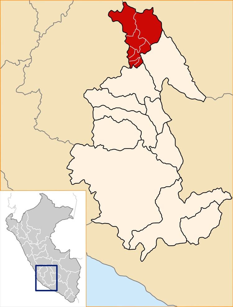 | ||
Huanta Province is the northernmost of the eleven provinces in the Ayacucho region in Peru. The capital of the Huanta province is the city of Huanta.
Contents
- Map of Huanta Province Peru
- Geography
- Political division
- Ethnic groups
- Municipal
- Archaeology
- Festivities
- References
Map of Huanta Province, Peru
Geography
Political division
The province measures 3,878.91 square kilometres (1,497.66 sq mi) and is divided into twelve districts.
- Huanta (Huanta)
- Ayahuanco (Viracochan)
- Huamanguilla (Huamanguilla)
- Iguain (Macachacra)
- Luricocha (Luricocha)
- Santillana (San José de Secce)
- Sivia (Sivia)
- Llochegua (Llochegua)
- Canayre (Canayre)
- Uchuraccay (Huaynacancha)
- Pucacolpa (Huallhua)
- Chaca (Chaca)
Ethnic groups
The people in the province are mainly indigenous citizens of Quechua descent. Quechua is the language which the majority of the population (67.17%) learnt to speak in childhood, 32.45 % of the residents started speaking using the Spanish language and 0.10% using Aymara (2007 Peru Census).
Municipal
Archaeology
Some of the most important archaeological sites of the province are Inka Raqay (or Allqu Willka), Kunturmarka, Marayniyuq, Mulinuyuq, Pusuquy Pata (or Ch'illiku Pampa) and Tinyaq.
Festivities
References
Huanta Province Wikipedia(Text) CC BY-SA