
Area 9.99 km² | Local time Wednesday 11:03 PM | |
 | ||
Weather 3°C, Wind NW at 6 km/h, 81% Humidity | ||
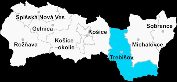
Hrčeľ (Hungarian: Gercsely) is a village and municipality in the Trebišov District in the Košice Region of south-eastern Slovakia.
Contents
Map of 076 15 Hr%C4%8De%C4%BE, Slovakia
History
In historical records the village was first mentioned in 1332.
Geography
The village lies at an altitude of 135 metres and covers an area of 9.9 km². It has a population of about 790 people.
Ethnicity
The village is about 85% Slovak and 15% Gypsy.
Facilities
The village has a public library and a football pitch.
References
Hrčeľ Wikipedia(Text) CC BY-SA