
Country Ukraine Established 1100 Time zone EET (UTC+2) Area 104 ha | Elevation/(average value of) 489 m (1,604 ft) Postal code 82634 Local time Wednesday 11:18 PM | |
 | ||
Weather 1°C, Wind W at 6 km/h, 86% Humidity | ||
Hrebeniv (Ukrainian: Гребе́нів) – Carpathian village in the Skole Raion, Lviv Oblast of Western Ukraine.
The population of the village is about 593 people. Local government is administered by Hrebenivska village council.
Contents
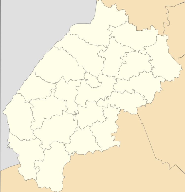
Map of Hrebeniv, Lvivska, Ukraine
Geography
The village is located on the banks of the Opir River on the altitude of 489 metres (1,600 ft) above sea level. That is located at a distance 4 kilometres (2.5 mi) from the Highway M06 (Ukraine) () and is a distant 119 kilometres (74 mi) from the regional center of Lviv, 11 kilometres (6.8 mi) from the district center Skole and 20 kilometres (12 mi) from the urban village Slavske.
History and Attractions
For the first time the village is mentioned in the studies of the Polish historian and ethnographer Jabłonowski in 1589. Although in these areas by archaeologists found the remains of many things and weapons from the XI-XII centuries.
The tomb of Prince Svyatoslav Vladimirovich (982 – 1015) is near Hrebeniv village, on the right bank of the Opir River.
The village has an architectural monumentes of local importance of Skole Raion (Skole district):
1. Church of the Annunciation of the Blessed Virgin Mary (wooden) 1928 (N- 2911 / 1M).
2. The bell tower of the church of the Annunciation of the Blessed Virgin Mary 1928 (N- 2911 / 2M).