
OS grid reference NT8934 Post town CORNHILL-ON-TWEED Local time Wednesday 7:44 PM | Sovereign state United Kingdom Postcode district TD12 | |
 | ||
Weather 8°C, Wind SW at 27 km/h, 82% Humidity | ||
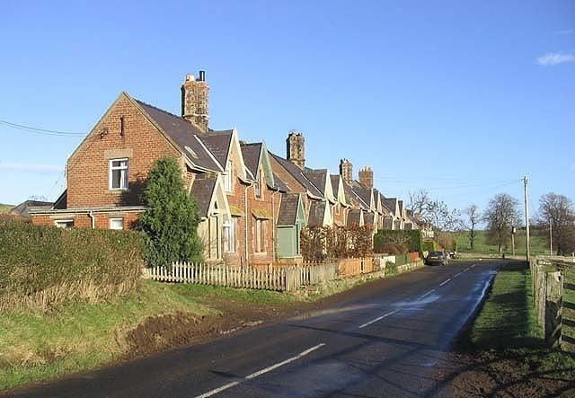
Howtel is a village in Northumberland, England about 8 miles (13 km) northwest of Wooler. The name Howtel is thought to mean Low Ground with a Holt or Wood.
Contents
Map of Howtel, Mindrum, UK
History
Howtel once possessed a strong pele, mentioned in the report of Sir Robert Bowes on the Border in 1542 as one of several that had been "rased and casten downe" by the Scots. The surviving ruins of Howtel Tower are now surrounded by farm buildings. The village is listed, too, along with Lanton, Milfield, Heatherslaw, Branxton, Heaton, Pawston, and Mindrum in the order of the watch in this part of the Border, as set forth in an act of Edward VI's reign. The villages mentioned had to supply a nightly patrol of fourteen men, who made their rounds on horseback. At the close of the nineteenth century the Alnwick and Cornhill branch of the North East railway passed close by, and the nearest station was at Kirknewton. Watson-Askew-Robertson was named as the lord of the manor. There was a Presbyterian chapel, which was built in 1850 to seat 350 people. The village also had a national school, built in 1875 for 60 children. The average attendance was 45 and the schoolmaster was Robert Strong. The census returns for 1891 show that there were 116 people living in Howtel; this represented a slight drop from the beginning of the century when the returns stood at 186.
Governance
Howtel is in the parliamentary constituency of Berwick-upon-Tweed.