
OS grid reference SJ690234 Post town NEWPORT Local time Wednesday 7:17 PM | Sovereign state United Kingdom Postcode district TF10 Dialling code 01952 | |
 | ||
Weather 12°C, Wind S at 6 km/h, 70% Humidity | ||
Howle, also spelt Howl, is a small village in Shropshire, England, in a rural area some five miles to the north-west of the town of Newport. Although it is part of the civil parish of Chetwynd, the nearest village is Child's Ercall.
Map of Howle, Newport, UK
The village name has been variously suggested as being derived from the Old English personal name element Hyge- or from a word meaning "hill". In the Domesday Book survey it was recorded as the manor of Hugle.
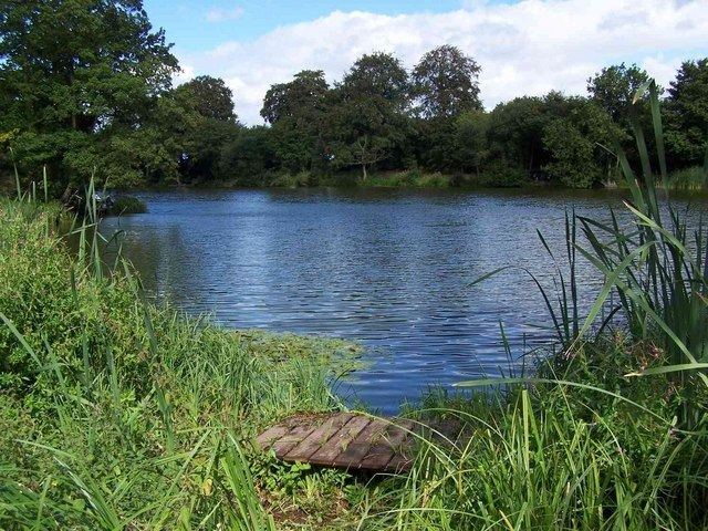
Howle is on the edge of Ercall Heath, which was largely forested until World War I and has been partly brought into cultivation since; the River Meese flows nearby. There is a holy well, formerly used by those seeking cures, south of Howle near the road to Tibberton.
References
Howle, Shropshire Wikipedia(Text) CC BY-SA