Country United States ZIP code 55606 Elevation 186 m | Time zone Central (CST) (UTC-6) Area code(s) 218 Local time Wednesday 10:16 AM | |
 | ||
Weather -2°C, Wind NW at 8 km/h, 32% Humidity | ||
Hovland is an unincorporated community in Cook County, Minnesota, United States.
Contents
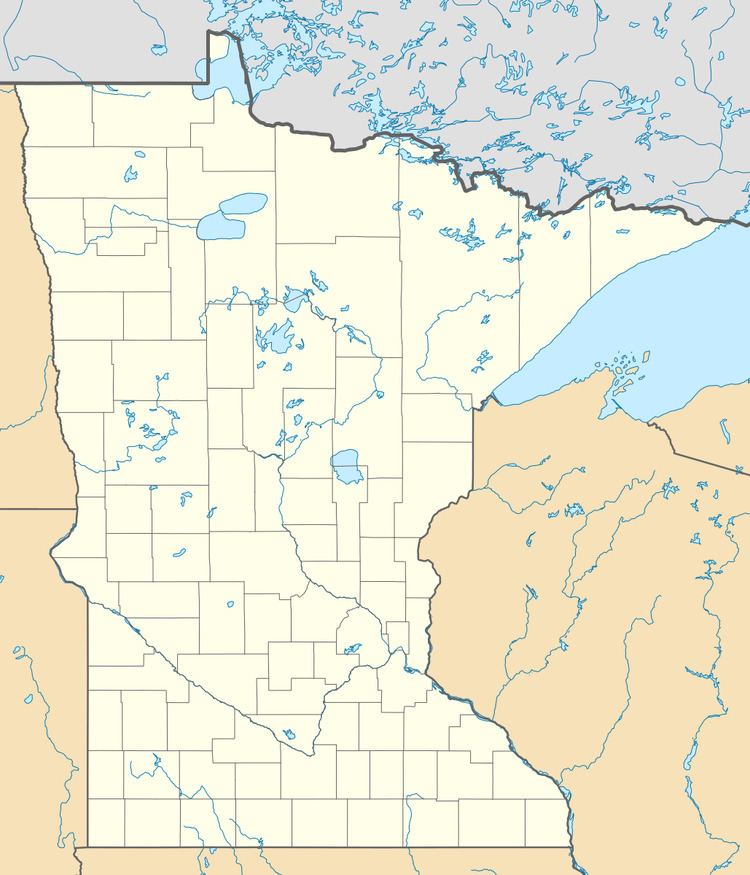
- Map of Hovland East Cook MN 55604 USA
- 360 of north shore lake superior hovland minnesota
- History
- References
Map of Hovland, East Cook, MN 55604, USA
The community is located on Chicago Bay of the North Shore of Lake Superior. Hovland is located 18 miles northeast of the city of Grand Marais; and 16 miles southwest of Grand Portage.
Minnesota Highway 61 and Cook County Road 16 (Arrowhead Trail) are two of the main routes in the community.
Hovland is located within the Grand Portage State Forest; and was (until 2004) the location of a Minnesota Forest Service Ranger Station.
Judge C. R. Magney State Park and the Naniboujou Club Lodge are both located near Hovland.
360 of north shore lake superior hovland minnesota
History
Hovland was settled during the late 1880s by fishermen of primarily Scandinavian ancestry. Hovland post office was established in 1889, named after settler Ole Brunes' place of origin in Norway. The Trefoldighets Evangelisk Norsk Lutherske menighet, a Hauge Synod Lutheran congregation, was organized in 1909. The congregation continues as Trinity Lutheran and is noted for the distinctive architecture of its stone church, begun in 1947.
