
OS grid reference HY317041 Post town ORKNEY Local time Wednesday 2:42 PM | Sovereign state United Kingdom Postcode district KW17 Dialling code 01856 | |
 | ||
Weather 10°C, Wind SW at 14 km/h, 84% Humidity | ||
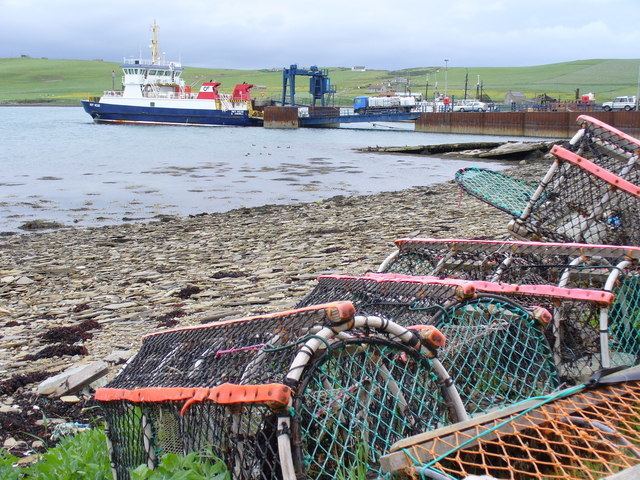
Houton is a settlement 5 miles (8.0 km) southeast of Stromness on the island of Mainland, Orkney, Scotland. The settlement is within the parish of Orphir, and is situated on a minor road off the A964.
Contents
Map of Houton, Orkney, UK
From here, a ferry sails to Lyness on Hoy and the oil terminal at Flotta. Nearby are the remains of the Orphir Round Church, dedicated to St Nicholas (the only medieval round church in Scotland) and the Earl's Bu, the ruins of a former manor house of the Earldom of Orkney. These sites are in the care of Historic Environment Scotland.
The Holm of Houton is nearby.
RAF Houton
RAF Houton was situated nearby and was home to the following units:
References
Houton Wikipedia(Text) CC BY-SA