
North end: Brigade Road Length 40 km | States: Karnataka | |
 | ||
South end: Attibele, Anekal Taluk. | ||
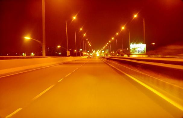
Careful guys look at live accident in bangalore in hosur road
Bangalore-Hosur Road is the part of National Highway 7 which connects metropolis Bangalore and business town Hosur. It is a four to eight-lane access controlled highway. The road is part of the National Highway network.
Contents
- Careful guys look at live accident in bangalore in hosur road
- Map of Hosur Rd Bengaluru Karnataka
- References
Map of Hosur Rd, Bengaluru, Karnataka
The National Highways Authority of India has constructed a 10-kilometer-long elevated highway from Madiwala to Electronics City. The Bruhat Bengaluru Mahanagara Palike and Bangalore Development Authority have planned a series of flyovers and underpasses to make this arterial road signal free. The project is a part of the BETL (Bangalore Elevated Tollways Ltd), project as part of the National Highways Development Project and the Elevated Highways Project. It was initiated in early 2006, and was inaugurated on 22 January 2010. It starts from Bomanahalli after the Central Silk Board flyover and goes on up to Electronics City. It goes above the BMIC flyover on Hosur Road, at a height of 17 meters (56 ft), thus making it, Bangalore's tallest flyover.