
Isolation 2.83 mi (4.55 km) Elevation 4,238 m | Easiest route hike Prominence 231 m | |
 | ||
Topo map USGS 7.5' topographic mapMount Sherman, Colorado Similar Mount Buckskin, Clinton Peak, French Mountain, Casco Peak, Fletcher Mountain | ||
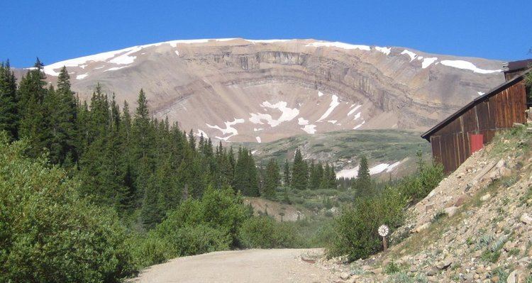
Horseshoe Mountain is a high mountain summit in the Mosquito Range of the Rocky Mountains of North America. The 13,905-foot (4,238 m) thirteener is located 7.1 miles (11.5 km) southeast by east (bearing 126°) of the City of Leadville, Colorado, United States, on the drainage divide separating San Isabel National Forest and Lake County from Pike National Forest and Park County.
Map of Horseshoe Mountain, Colorado 80461, USA
References
Horseshoe Mountain (Colorado) Wikipedia(Text) CC BY-SA