Population 127 (2011) Civil parish Horningtoft Area 5.73 km² | OS grid reference TF935231 Sovereign state United Kingdom Local time Tuesday 8:12 PM | |
 | ||
Weather 10°C, Wind W at 16 km/h, 84% Humidity | ||
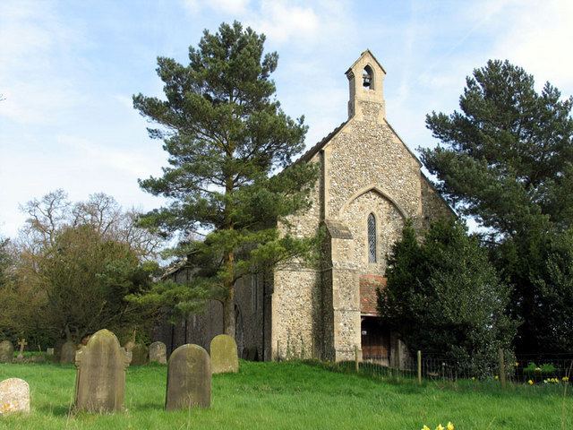
Horningtoft is a village and civil parish in the English county of Norfolk. It covers an area of 5.73 km2 (2.21 sq mi) and had a population of 135 in 54 households at the 2001 census, reducing to a population of 127 in 53 households at the 2011 Census. For the purposes of local government, it falls within the district of Breckland.
Contents
Map of Horningtoft, UK
The village approximately 5 miles north of East Dereham. It is close to the villages of Whissonsett and Brisley. The village has a Danish Camp to its eastern end.
Stable barn hotel in horningtoft united kingdom
Notable residents
References
Horningtoft Wikipedia(Text) CC BY-SA
