
Topo map 1219 III Hjørundfjord Elevation 1,529 m Phone +47 57 87 96 05 Parent range Sunnmørsalpane | Prominence 460 m Mountain range Sunnmørsalpane | |
 | ||
Isolation 2.73 kilometres (1.70 mi) Similar Kvitegga, Slogen, Skårasalen, Jakta, Kolåstinden | ||
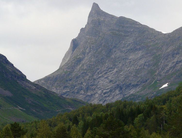
Hornindalsrokken is a 1,529-metre (5,016 ft) tall mountain in Norway. It is located on the border of three municipalities in two different counties: Stranda Municipality and Ørsta Municipality in Møre og Romsdal county and Hornindal Municipality in Sogn og Fjordane county. The mountain is sometimes also called Honndalsrokken or sometimes just Rokken or Rokkjen.
The mountain is located about 14 kilometres (8.7 mi) northeast of the village of Grodås and lake Hornindalsvatnet in Hornindal Municipality. It is also located about 11 kilometres (6.8 mi) west of the village of Hellesylt in Stranda Municipality. It also lies about 6 kilometres (3.7 mi) southeast of the village of Leira in Ørsta Municipality. The mountain Kvitegga is 3 kilometres (1.9 mi) to the northeast on the Ørsta/Stranda municipal border.
The easiest ways to climb the mountain are from the Sæterdalen valley in Hornindal Municipality or from the Kjellstaddalen valley in Stranda Municipality. A popular viewpoint of the summit is from the Honndøla bridge which was built in 1810. The bridge lies near Norwegian County Road 60 in Indre Hornindal. North of the mountain lies the lake Tyssevatnet which is the innermost lake in the Hjørundfjorden area.