
Elevation 203 m Local time Tuesday 9:33 PM | Area 9.827 km² | |
 | ||
Weather 4°C, Wind E at 6 km/h, 71% Humidity | ||
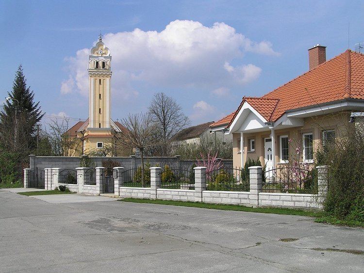
Horná Streda is a village and municipality in Nové Mesto nad Váhom District in the Trenčín Region of western Slovakia.
Contents
Map of 916 24 Horn%C3%A1 Streda, Slovakia
History
In historical records the village was first mentioned in 1263.
Geography
The municipality lies at an altitude of 169 metres and covers an area of 9.827 km². It has a population of about 1300 people. The village lies about 7 km north of Piešťany and approximately 12 km south of Nové Mesto nad Váhom. Horná Streda is about an hour's drive away from Bratislava, the capital of Slovakia.
The village lies on the banks of the river Váh and is the site of a small hydroelectric power plant.
References
Horná Streda Wikipedia(Text) CC BY-SA