
Population 2,642 (2011) Sovereign state United Kingdom Area 10.4 km² Dialling code 01435 | OS grid reference TQ577174 Post town HEATHFIELD Local time Tuesday 5:39 PM UK parliament constituency Wealden | |
 | ||
Weather 13°C, Wind W at 10 km/h, 75% Humidity | ||
Horam is a village, electoral ward and civil parish in the Wealden District of East Sussex, situated three miles (4.8 km) south of Heathfield. Included in the parish are the settlements of Vines Cross and Burlow.
Contents
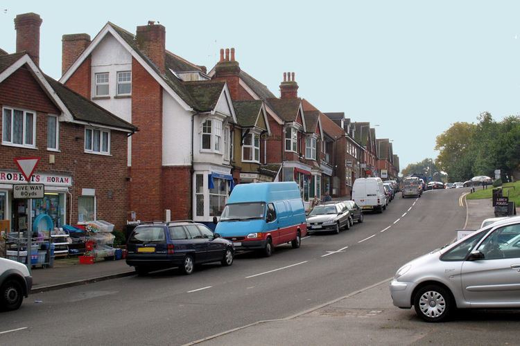
Map of Horam, UK
History
Vines Cross is named after John Vyne, who was a local vintner in 1595. Like many other settlements on the Weald, Horam was involved in the Wealden iron industry.
The name of Horam was formerly spelled 'Horeham', and this spelling still appears occasionally in public records. The railway station (closed in 1965 under the Beeching Axe) was originally named 'Horeham Road'. The dialling code for Horam is still listed as 'Horam Road'.
Governance
Horam Parish Council consists of twelve members.
Geography
Horam village lies on the A267 Tunbridge Wells–Eastbourne road south of Heathfield. The area is on the slopes of the Weald: there are many headwater streams of the River Cuckmere, carving out valleys, the main one being the Waldron Ghyll (or Gill).
Transport
Horam is served by various routes of the Eastbourne Bus Company. The erstwhile railway line is now the Cuckoo Trail footpath through the village.
Religion
The village is served by Christ Church (the local Church of England church) which is found in Horebeech Lane. The present vicar is Peter-John Guy. The small church in Vines Cross was dedicated to St James but is no longer in existence.
Education
Primary education is provided at Maynards Green Primary School. St Mary's School, Horam is a secondary day and residential special school, located at Maynards Green.