
Country Netherlands Major roads N211 N220 | Dialing code 0174 Population 9,382 (1 Jul 2008) | |
 | ||
Weather 9°C, Wind SW at 24 km/h, 92% Humidity Points of interest het Keringhuis - Publieksc, Atlantikwall‑museum, Fort 1881, Museum RockArt, Kustverlichtingsmuseum Hoek van Holland | ||
Stena line hollandica harwich to the hook of holland comfort cabin with sea view
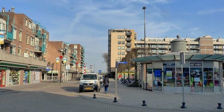
The Hook of Holland (Dutch: Hoek van Holland) is a town in the southwestern corner of Holland (hence the name; hoek means "corner"), at the mouth of the New Waterway shipping canal into the North Sea. The town is administered by the municipality of Rotterdam as a district of that city. Its district covers an area of 16.7 km2, of which 13.92 km2 is land. On 1 January 1999 it had an estimated population of 9,400.
Contents
- Stena line hollandica harwich to the hook of holland comfort cabin with sea view
- Map of Hook of Holland Netherlands
- Railways
- Ferry
- Motorways
- References
Map of Hook of Holland, Netherlands
Towns near "the Hook" (Dutch: "de Hoek") include Monster, 's-Gravenzande, Naaldwijk and Delft to the northeast, and Maassluis to the southeast. On the other side of the river is the Europort and the Maasvlakte. The wide sandy beach, one section of which is designated for use by naturists, runs for approximately 18 kilometres to Scheveningen and for most of this distance is backed by extensive sand dunes through which there are foot and cycle paths.
On the north side of the New Waterway, to the west of the town, is a pier part of which is accessible to pedestrians and cyclists.
The Berghaven is a small harbour on the New Waterway where the Rotterdam and Europort pilots are based. This small harbour is only for the use of the pilot service, government vessels and the Hook of Holland lifeboat.
During World War II this was one of the most important places for the Germans to hold because of the harbour.
Railways
The Schiedam–Hoek van Holland railway is a 24-kilometre branch line from Schiedam Centrum station via Vlaardingen and Maassluis. The final two stations on the line are located within the town. Hoek van Holland Haven, the penultimate station, is close to the town centre, adjacent to the ferry terminal and the small harbour, the Berghaven. Hoek van Holland Strand, the terminus, is closest to the beach.
The railway line opened for service in 1893 and was electrified in 1935. Services on the line to Rotterdam Centraal station are being operated by NS every half hour during the day until April 2017, when the line will be closed for conversion to metro standards. It is expected to reopen in September 2017 as an extension of the Rotterdam Metro.
Ferry
Hoek van Holland is also the location of an international ferry terminal, where service to eastern England has operated from since 1893, uninterrupted except for during the two World Wars. Currently, two routes are being operated: one, a day and night freight and passenger service, to Harwich, Essex and the other, a night, freight-only service to North Killingholme Haven, Lincolnshire. The passenger ferry service is operated by Stena Line as part of the Dutchflyer rail-ferry service between Hook van Holland Haven station and Harwich International station in England, from which Abellio Greater Anglia provides service to Liverpool Street station in central London.
A local ferry operated by RET links the Hook with the Maasvlakte part of the Port of Rotterdam.
Motorways
The A20 motorway begins approximately 10 kilometres east of Hoek van Holland near Westerlee, heading east towards Rotterdam and Utrecht. It connects to the A4 heading north towards the Hague and Amsterdam 17 kilometres east of the town.