
Country United States Time zone CST (UTC-6) Elevation 169 m Local time Tuesday 1:11 AM | Established June 21, 1869 ZIP codes 62427, 62454 Area 125.2 km² Population 1,563 (2010) | |
 | ||
Weather -1°C, Wind N at 18 km/h, 85% Humidity | ||
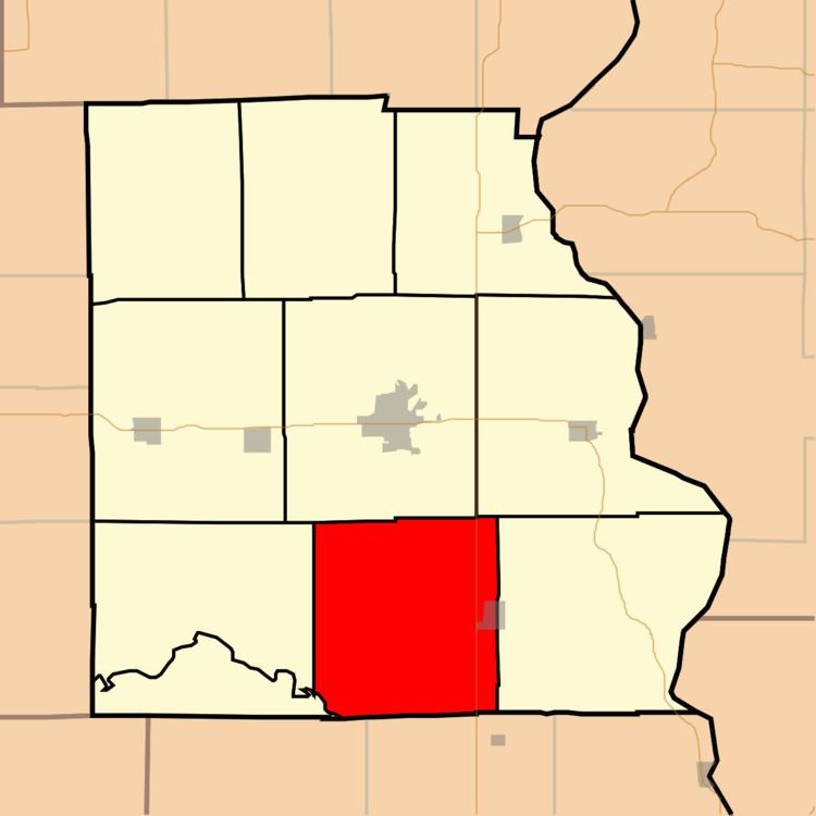
Honey Creek Township is one of ten townships in Crawford County, Illinois, USA. As of the 2010 census, its population was 1,563 and it contained 672 housing units.
Contents
- Map of Honey Creek Township IL USA
- Geography
- Cities towns villages
- Unincorporated towns
- Cemeteries
- Major highways
- School districts
- Political districts
- References
Map of Honey Creek Township, IL, USA
Geography
According to the 2010 census, the township has a total area of 48.32 square miles (125.1 km2), all land.
Cities, towns, villages
Unincorporated towns
(This list is based on USGS data and may include former settlements.)
Cemeteries
The township contains these ten cemeteries: Beckwith, Cecedar, Good Hope, Jones, Nuttle, Port Jackson, Rich, Sears, Swearingen and Tohill.
Major highways
School districts
Political districts
References
Honey Creek Township, Crawford County, Illinois Wikipedia(Text) CC BY-SA