
Country United States Time zone CST (UTC-6) Area 94.95 km² Population 720 (2010) | Established November 6, 1849 Elevation 210 m Local time Tuesday 1:11 AM | |
 | ||
ZIP codes 62320, 62325, 62351, 62359 Weather -3°C, Wind N at 19 km/h, 74% Humidity | ||
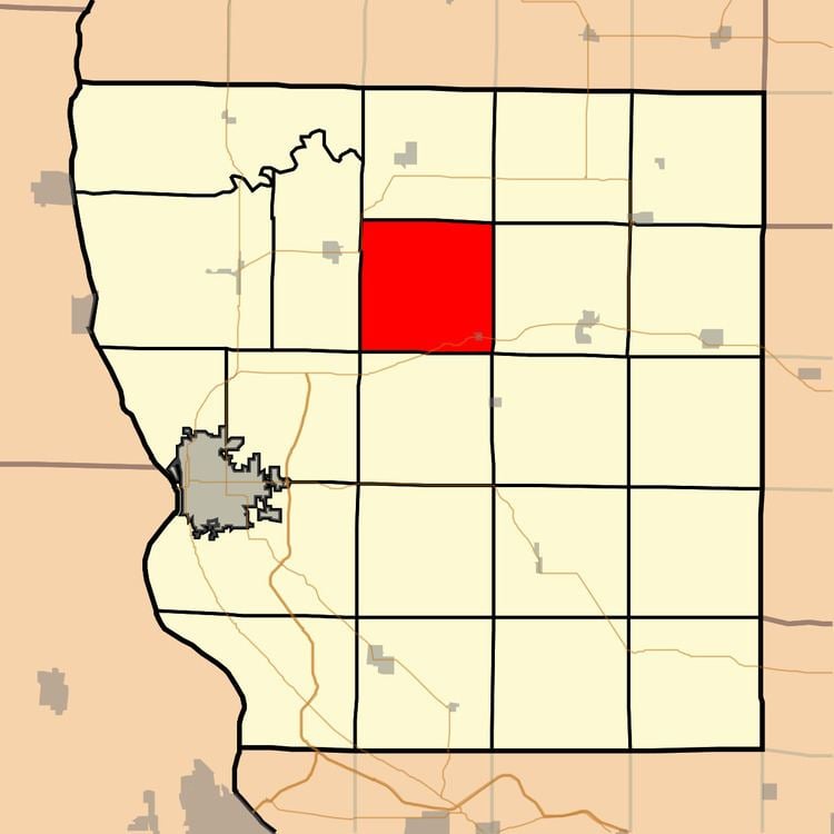
Honey Creek Township is one of twenty-two townships in Adams County, Illinois, United States. As of the 2010 census, its population was 720 and it contained 307 housing units.
Contents
- Map of Honey Creek Township IL USA
- Geography
- Cities
- Unincorporated towns
- Cemeteries
- Major highways
- School districts
- Political districts
- References
Map of Honey Creek Township, IL, USA
Geography
According to the 2010 census, the township has a total area of 36.66 square miles (94.9 km2), of which 36.58 square miles (94.7 km2) (or 99.78%) is land and 0.08 square miles (0.21 km2) (or 0.22%) is water.
Cities
Unincorporated towns
Cemeteries
The township contains five cemeteries: Byler, Cate Family, Gooding, Gray Mound and Laugh.
Major highways
School districts
Political districts
References
Honey Creek Township, Adams County, Illinois Wikipedia(Text) CC BY-SA