
 | ||
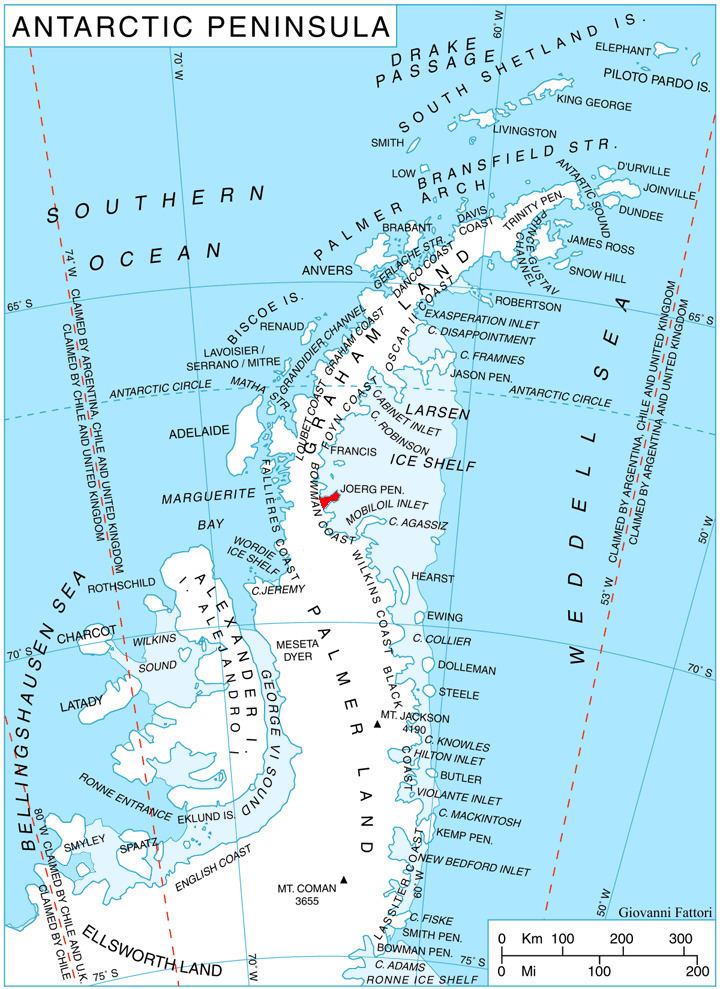
Hondius Inlet (Bulgarian: залив Хондий, ‘Zaliv Hondius’ \'za-liv 'hon-diy) is the 5.7 km wide ice-filled inlet indenting for 6.7 km the tip of Joerg Peninsula, Bowman Coast on the Antarctic Peninsula southeast of Three Slice Nunatak. Its head is fed by Getman Ice Piedmont.
Contents
The feature is named after the Flemish cartographer Jodocus Hondius (Joost de Hondt, 1563-1612) whose 1595 map depicted the southern continent Terra Australis separated from both Tierra del Fuego and New Guinea.
Location
Hondius Inlet is centred at 68°04′50″S 64°55′00″W. British mapping in 1963 and 1976.
Maps
References
Hondius Inlet Wikipedia(Text) CC BY-SA