
- summer (DST) CEST (UTC+2) Area 8.944 km² | Elevation 594 m Local time Monday 7:25 PM | |
 | ||
Weather 2°C, Wind N at 13 km/h, 85% Humidity | ||
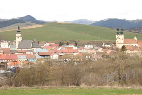
Holumnica is a village and municipality in Kežmarok District in the Prešov Region of north Slovakia.
Contents
Map of Holumnica, Slovakia
History
In historical records the village was first mentioned in 1293.
Geography
The municipality lies at an altitude of 593 metres and covers an area of 8.944 km². It has a population of about 870 people.
Economy and infrastructure
In Holumnica is elementary school, kindergarten, public library, football pitch, post, medical service, foodstuff store and cable TV network. Cultural sightseeings are remnants of the castle, manor house, classical evangelical and gothic Roman Catholic churches.
References
Holumnica Wikipedia(Text) CC BY-SA