Established 1939 State electorate(s) Roe Founded 1939 Postal code 6355 | Postcode(s) 6355 Elevation 323 m Local time Tuesday 2:03 AM | |
 | ||
Weather 16°C, Wind W at 13 km/h, 80% Humidity | ||
Holt Rock is a small town in the Wheatbelt region of Western Australia. It is situated between the towns of Hyden and Varley close to the edge of Lake Hurlstone.
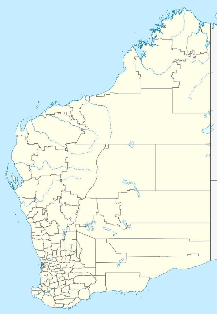
Map of Holt Rock WA 6355, Australia
The town is named after the nearby geographical feature that was named by the explorer Frank Hann in 1901. Hann had been on an expedition from Ravensthorpe to Menzies. Haan is thought to have named the rock after the surveyor G.H. Holt who worked in the Lands Department. The townsite was gazetted in 1939.
The rocks serve to provide potable water for the town with a rock catchment tank that has a volume of 1,100 cubic metres (250,000 imp gal) being built to collect run-off from the rocks.
Economically the area depends on cropping of cereals, primarily wheat. The town is a receival site for Cooperative Bulk Handling. Bulk Bins were established in the town in 1940.
