
 | ||
Hollister Peak is a 4,729 metres (15,515 ft) high, sharp peak in the central part of the ice-covered Vinson Plateau in the Sentinel Range of the Ellsworth Mountains, Antarctica. It surmounts th head of Roché Glacier to the north.
Contents
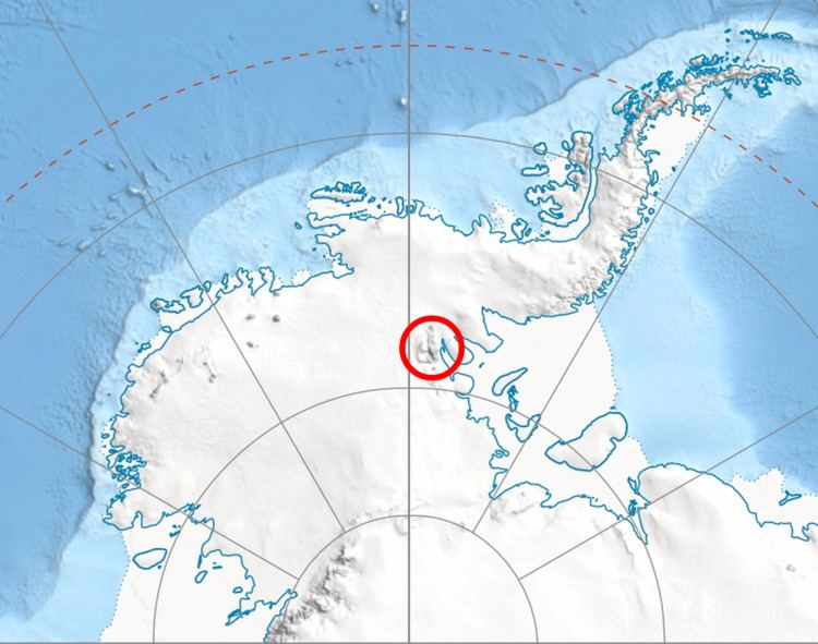
Map of Hollister Peak, Antarctica
The peak was named by US-ACAN in 2006 after Charles Davis Hollister (1936–99), geologist, oceanographer and member of the 1966–67 American Antarctic Mountaineering Expedition that made the first ascent of Mount Vinson, the summit of Antarctica, and other high mountains in the Sentinel Range.
Location
Hollister Peak is located at 78°32′43″S 85°35′19″W, which is 1.43 miles (2.30 km) south by east of Mount Vinson, 2.62 miles (4.22 km) west by south of Marts Peak and 1.53 miles (2.46 km) north of Opalchenie Peak. US mapping in 1961, updated in 1988.