
Elevation 620 m (2,030 ft) Area code 04256 Population 840 (2015) Postal code 9613 | Time zone CET (UTC+1) Website www.hohenthurn.at Local time Monday 9:04 AM District Villach-Land District | |
 | ||
Weather 3°C, Wind E at 2 km/h, 82% Humidity | ||
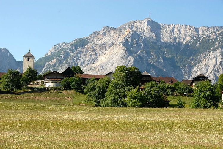
Hohenthurn (Slovene: Straja vas) is a municipality in the district of Villach-Land in the Austrian state of Carinthia.
Contents
Map of Hohenthurn, Austria
Geography
Hohenthurn is located in the Gail Valley on the northern slope of the Carnic Alps at the border with Italy. It comprises the cadastral municipality of Hohenthurn and Dreulach (Slovene: Drevlje).
History
The municipality was the site of a prehistoric Hallstatt settlement as well as of a Roman watchtower, which is depicted in the coat of arms. However Hohenthurn (Hoher Turm, i.e. "High tower"), first mentioned in a 1253 deed as Göströsdorf, probably derived its name from the steeple of the Gothic St. Cyriacus parish church.
The Carinthian Slovene priest and activist Matija Majar from 1851 until 1867 served at the Holy Name of Mary parish church in the hamlet of Göriach.
Politics
Seats in the municipal council (Gemeinderat) as of 2009 elections:
Twin towns — Sister cities
Hohenthurn is twinned with: