
Vehicle registration WZ Area 37.8 km² Postal code 8162 Area code 03179 | Time zone CET (UTC+1) Elevation 680 m Local time Monday 8:46 AM Population 1,326 (1 Apr 2009) | |
 | ||
Website www.hohenau-raab.steiermark.at Weather 1°C, Wind SW at 3 km/h, 61% Humidity | ||
Hohenau an der Raab is a former municipality in the district of Weiz in the Austrian state of Styria. Since the 2015 Styria municipal structural reform, it is part of the municipality Passail.
Contents
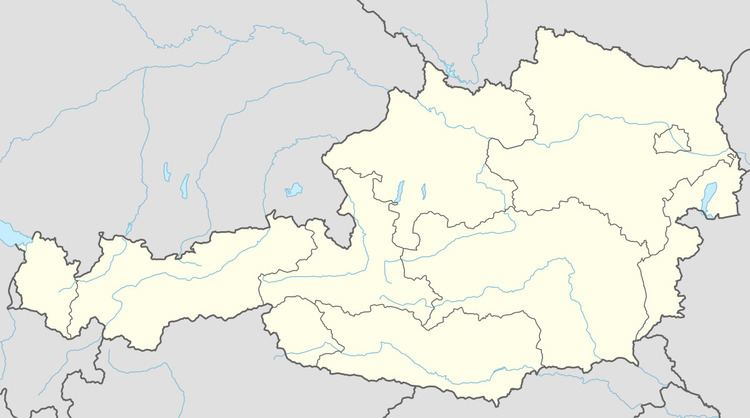
Map of 8162 Hohenau an der Raab, Austria
Geography
Hohenau an der Raab is located in the east of Styria.
The highest point is the Siebenkögel at 1409 m in the north.
References
Hohenau an der Raab Wikipedia(Text) CC BY-SA