
Population 241 (2011) Sovereign state United Kingdom Area 9.25 km² | OS grid reference TF9952116818 Dialling code 01362 | |
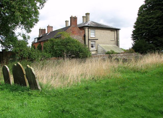 | ||
Hoe is a village and civil parish situated in the Breckland District of Norfolk and covers an area of 925 hectares (2,290 acres), with an estimated population of 219 at the 2001 census, increasing to 241 at the 2011 Census.
Map of Hoe, UK
The village lies 1.5 miles (2.4 km) east of Beetley, 1.5 miles (2.4 km) west of Swanton Morley and 2.5 miles (4.0 km) by road north from Dereham.
It is served by St Andrew's Church in the Benefice of Swanton Morley.
The civil parish of Hoe is joined to the adjacent parish of Worthing, although the ecclesiastical parishes remain separate.
The Mid-Norfolk Railway have extended its historic line to Hoe, and are planning to construct a platform, here to serve the nearby village.
References
Hoe, Norfolk Wikipedia(Text) CC BY-SA