
Elevation 1,771 m | Easiest route Barthlmahd path Prominence 301 m | |
 | ||
Pronunciation German: [ˌhoːxˈʃtaʊfən] Similar Zwiesel, Predigtstuhl, Teisenberg, Berchtesgadener Hochthron, Sonntagshorn | ||
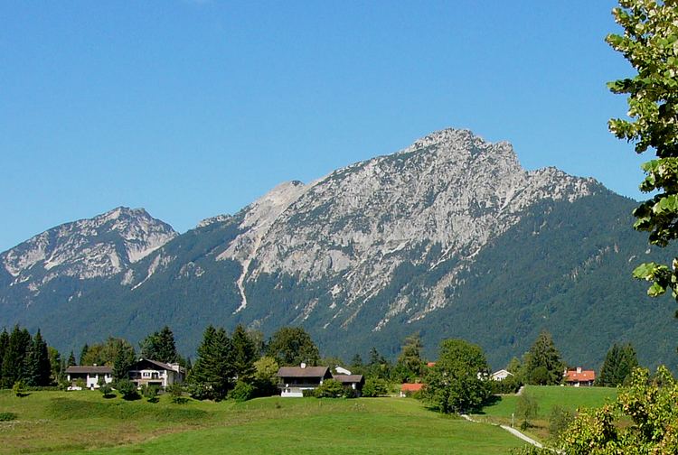
The Hochstaufen is located in the north of Bad Reichenhall (Landkreis Berchtesgadener Land) and is the easternmost mountain of the Chiemgau Alps. The mountain belongs to the Staufen massif and is a popular destination for mountaineering.
Contents
Map of Hochstaufen, 83451 Bad Reichenhall, Germany
In the 17th century there were some mines at the Hochstaufen, the best known gallery was the Doktor-Oswald-Gallery, located only 60 m underneath the summit.
At an altitude of 1,750 m is the Reichenhaller Haus, an alpine hut of the Deutscher Alpenverein (Section Bad Reichenhall).
RoutesEdit
The fixed rope route Pidinger Klettersteig was created in 2003 and is one of the most challenging fixed rope routes in Germany.
MiscellaneousEdit
After heavy rainfalls earthquakes occur at the Hochstaufen, so there are several seismometers of the Ludwig Maximilians University of Munich around the mountain.
In September 1993 the innkeeper couple of the Reichenhaller Haus was murdered in a brutal robbery.