
Time zone CET/CEST (UTC+1/+2) Area 41.73 km² Population 2,526 (31 Dec 2008) Dialling code 035939 | Elevation 290 m (950 ft) Postal codes 02627 Local time Monday 5:09 AM Postal code 02627 | |
 | ||
Weather -3°C, Wind SE at 3 km/h, 100% Humidity | ||
Hochkirch (Upper Sorbian: Bukecy) is a municipality in the district of Bautzen, in Saxony, Germany. It is known for the 1758 Battle of Hochkirch, part of the Seven Years' War.
Contents
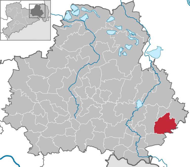
Map of Hochkirch, Germany
The municipality (except Breitendorf) is part of the recognized Sorbian settlement area in Saxony. Upper Sorbian has an official status next to German, all villages bear names in both languages.
Geography
Hochkirch is located in the historic Upper Lusatia region, about 10 km (6.2 mi) east of the administrative capital Bautzen and 9 km (5.6 mi) northwest of Löbau. Situated within the Lusatian Highlands, it belongs to the settlement area of the Sorbs.
History
The village of Bukovici (possibly derived from Upper Sorbian buk: "beech") was first mentioned in a 1222 deed issued by Bishop Bruno II of Meissen; the present German name first appeared in 1368. By the 1635 Peace of Prague, the area passed to the Electorate of Saxony.
During the Seven Years' War on 14 October 1758, the Habsburg (Austrian) Imperial Army under Field Marshal Count Leopold Joseph von Daun attacked the Prussian forces of King Frederick II in a night combat. The Prussians suffered a bitter defeat; Frederick's field marshal James Francis Edward Keith was killed in battle. Up to today, bullet holes from the fighting can be seen on the door of the Baroque Hochkirch parish church.
Politics
Seats in the municipal assembly (Gemeinderat) as of 2014 local elections: