
Population 3,378 (2006) | Ferry terminal(s) Hobsonville Point South Waitemata Harbour | |
 | ||
Playground hobsonville point playground auckland new zealand ep90
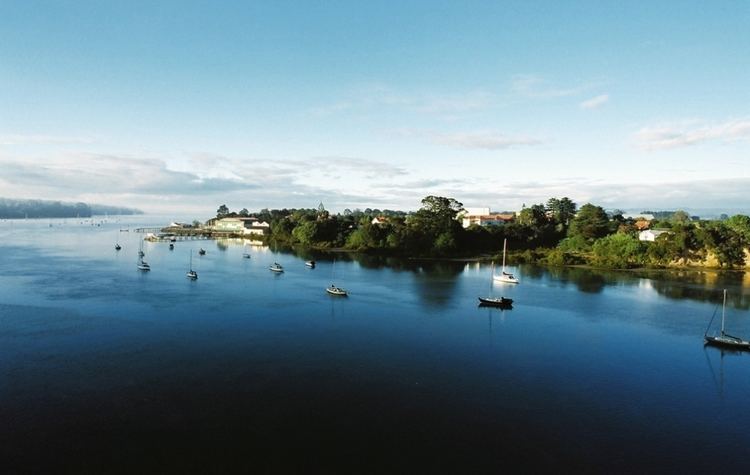
Hobsonville is a rural suburban district of the Auckland metropolitan area in the North Island of New Zealand. Home to the former Royal New Zealand Air Force airfield, Hobsonville Point is currently being redeveloped as a new suburb of Auckland, in the area of the former Waitakere City. Hobsonville Village next to Hobsonville Point is also being developed by Auckland Council and the area known as Hobsonville Corridor joins the peninsula with Westgate, a new regional town being created by the council. The peninsula is joined by the North Western Motorway and State Highway 16 in the west and the Hobsonville Peninsula and Upper Harbour Bridge in the east.
Contents
- Playground hobsonville point playground auckland new zealand ep90
- Map of Hobsonville Auckland 0618 New Zealand
- History
- Agriculture airfield
- Redevelopment
- Economy
- Education
- Transportation
- References
Map of Hobsonville, Auckland 0618, New Zealand
History
In December 2012 a tornado swept through the small town killing 3 people after concrete tilt slabs fell on a transport truck, the tornado also left hundreds homeless. The centre of the Tornado passed over the new school at Hobsonville Point and tore off roofs in RNZAF housing.
RNZAF emergency response was activated which included, RNZAF Force Protection, NZDF Military Police, RNZAF Rescue Fire, as well as the RNZAF Civil Defence Response Group. NZ Fire Service and NZ Police were also activated post tornado.
Agriculture & airfield
Hobsonville was named after the first Governor of New Zealand, William Hobson. After landing by sea at the site Hobson thought it suitable as the seat of Government for New Zealand but later rejected this on the advice of the Colonial Surveyor Felton Matthew. After the signing of the Treaty of Waitangi Okiato, renamed Russell, was chosen as the capital instead.
Originally Hobsonville was mainly an agricultural and horticultural area. During the early history of Auckland, large clay- and brickworks operated in the area such as in Limeburners Bay and at the Clark's Brickworks. The brickworks clay piping production was used to reticulate much of the new Auckland city centre, bringing in much of Clark's wealth.
The latter was located on the shore to the southwest of Bannings Way, with Clark himself living in 'Clark House', currently occupied by the RNZAF Aviation Medicine Unit, on Clark Road. Servants quarters were located adjacent to the Hobsonville shopping centre and are in a design similar to Clark House, but single storied. The servants quarters have subsequently been used as a Plunket facility and Day Care Centre. There are stories that these two buildings are connected by an underground tunnel to facilitate normal service requirements of the day, including cooking and maid service.
Much of the land however was not built upon during this time. In 1920, the Royal New Zealand Air Force built Hobsonville Airbase, covering a large part of what is nowadays defined as the Hobsonville Corridor. The airfield later joined with an airfield at Whenuapai to become RNZAF Base Auckland.
Redevelopment
Near the end of the 20th century, residential areas sprung up at the fringes of the area, and rural farms became lifestyle blocks. The RNZAF sold the airfield back to the NZ Government (via Housing New Zealand) in 2002, although they retain a lease on much of the airfield. Since then, Waitakere City, in cooperation with various stakeholders, is planning the future of the area, and proceeding through the requisite steps (such as District Plan changes) to rezone the land. This process, which involves making a total of 4 square kilometres of land available for development, is expected to finish in 2007. On the 1.67 km² of Crown land, about 3,000 homes are to be built (in addition to facilities such as parks and schools). Of the homes, 85% will be privately owned, while around 15% were to be state housing social rentals financed by Housing New Zealand and dispersed throughout Hobsonville.
However, the setting aside of a good portion of land for state housing was criticised as an economic mistake by New Zealand's Prime Minister John Key, as this would lower land and house values in Hobsonville. Once elected to government in 2008, John Key removed the state housing requirements from Hobsonville Point and instead introduced a 'gateway housing' scheme to help first-time home buyers. His actions have been criticised by Labour, some calling Key a hypocrite, as Key himself benefited from the nation's state housing programme as a child.
Work on housing began in 2011 with two schools and a marine industry cluster (boat & yacht building) also planned.
Economy
An area of 0.2 km² on Hobsonville Peninsula is to become a 'Marine Industry Cluster' for shipbuilding. A super yacht builder is already occupying part of the headland, and it is hoped that this will become the nucleus of a local industry to provide up to 3,000 jobs. However, a later article in The New Zealand Herald states that only 1,000 are expected to be created, though it also notes that in the meantime, three more boat building companies have already taken up residence in former aircraft hangars and old RNZAF buildings. The Marine Industry Association is pushing for the 'Marine Industry Cluster' zone change to safeguard these industries and allow further expansion.
Education
Hobsonville has three schools, two primary and one secondary:
Transportation
The Upper Harbour Motorway, connecting the Greenhithe bridge to the end of the Northwestern Motorway, was completed in August 2011, thus taking a considerable amount of through traffic away from the main local road. As part of the Western Ring Route the motorway is intended to provide a faster link from the West to the North Auckland region.
On 4 February 2013 a ferry service to downtown Auckland is due to start from a newly constructed terminal on Hobsonville Point. Initially the service will offer morning and evening commuter services only with an expected travel time of 30 minutes to and from Auckland. Bus services to and from the ferry are also planned.