
OS grid reference TR200641 Post town CANTERBURY Local time Monday 2:59 AM UK parliament constituency Canterbury | Sovereign state United Kingdom Area 6.51 km² Dialling code 01227 | |
 | ||
Population 551 (Civil Parish 2011) Weather 10°C, Wind NW at 18 km/h, 91% Humidity | ||
Hoath is a semi-rural village and civil parish in the City of Canterbury local government district. The hamlets of Knaves Ash, Maypole, Ford, Old Tree, Shelvingford and Stoney Acre are included in the parish.
Contents
Map of Hoath, UK
History
Hoath was part of the estate granted by King Ecgberht of Kent in 669 for the foundation of the church at Reculver, and remained part of that estate when King Eadred granted it to Archbishop Oda of Canterbury in 949. A chantry either in or connected with Hoath is recorded in the 14th century, with John Gardener as the chaplain, successor to Henry atte Were. The hamlet of Ford was the location of Ford Palace, a residence of the Archbishops of Canterbury from at least the 14th century to the 17th. Robert Hunt, chaplain to the expedition that founded the first successful English colony in the New World, at Jamestown, Virginia in 1607, was born in Hoath in the late 1560s or early 1570s.
Amenities
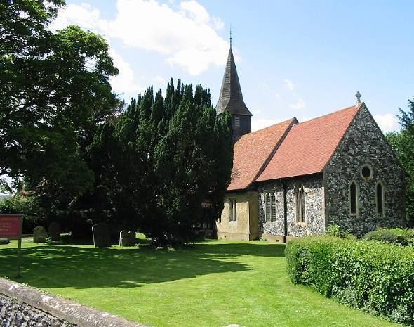
Within Hoath there is a small primary school, a camp site called Southview Camping, a public house named the Prince of Wales, a small church and a village hall.
Hoath has a small general aviation airfield (ICAO: EGHB) west of the village near Maypole.